TORS OF DARTMOOR
a database of both lesser- & well-known rocks and outcrops
Stoneslade TorStone Slade Torr, Stone Slade 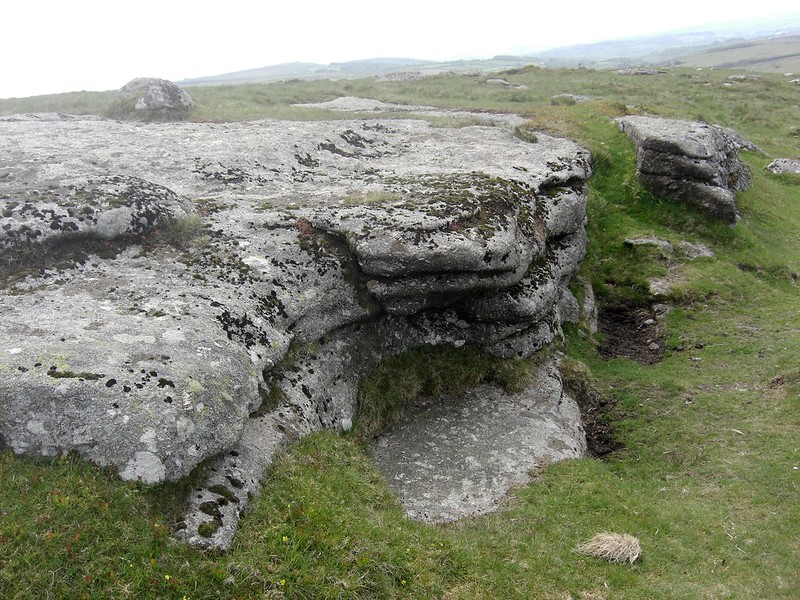 Marked as 'Stone Slade' as long ago on an 1802 map, and later on Lt. Col. Mudge's Map in 1809, the name no longer appears on modern Ordnance Survey maps that still fail to represent most of the rockpiles on Hamel Down despite them being well documented in the literature. 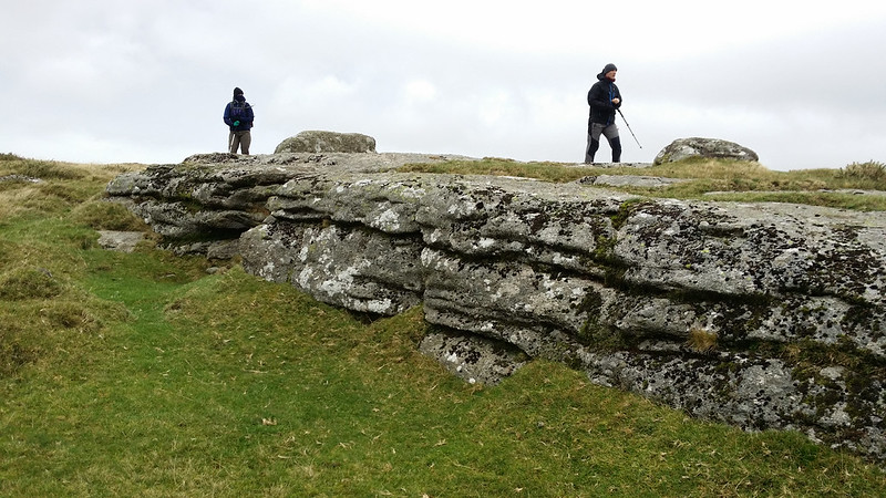 Described as the largest outcrop on the Down by Eric Hemery (1983), although some of the sizeable rocks below Hameldown Beacon would come close, Stoneslade Tor forms a massive flat sheet of bedrock measuring roughly 15 metres in length but reaching no more than a metre at its highest on the west side, giving it the appearance of a low wall. At about half mile south of the aforementioned Beacon and the same distance east of the line of windswept trees known as Beech Hedge this huge rock lies but a few metres to the west of the main track that runs over the entire ridge here from Kingshead Corner to Hameldown Tor. 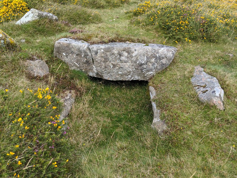 Southward from the main rock outcrop, there are a few scattered rocks forming a widespread yet sparse clitter. Views are not that dissimilar from the nearby Kingshead Tor a short walk away to the south, except from here the impressive Beech Hedge is far more discernible to the west and so too are the lowly rocks of Blacka Tor in West Webburn Country. 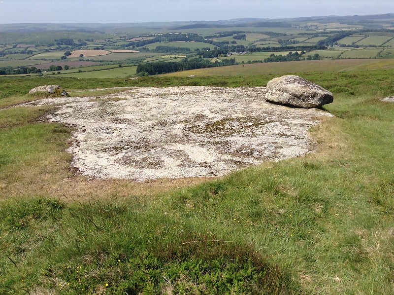 There are couple of interesting features nearby for example the only known kistvaen in the vicinity, first located and described by Worth in 1935, lies 100 metres or so to the south of the head of Tin Pits Gert at SX 7100 7833, but is nowadays in a poor state having lost its capstone. A small brass memorial cross can be found on the apex of a lone boulder at the far northern end of the tor it bears the inscription 'R.I.P 27.2.91' on one side and '1990' on the other.
| ||||||||||||||||||||||||||||||