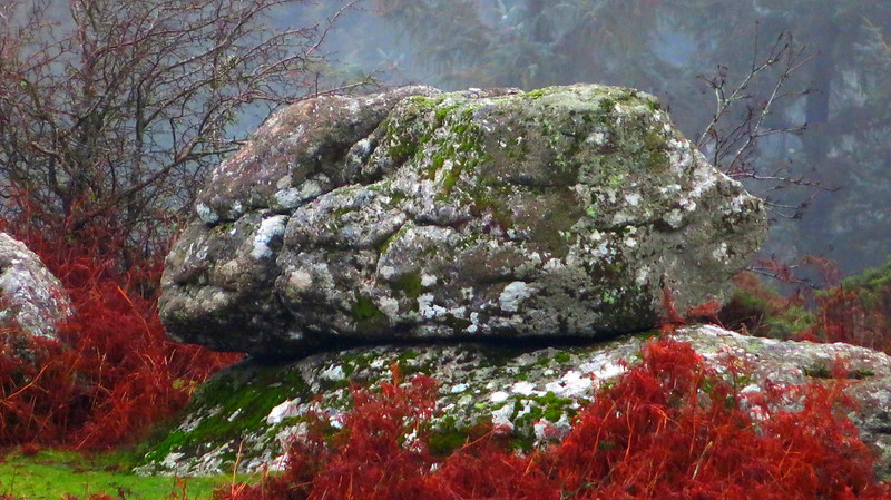
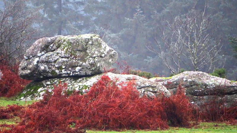
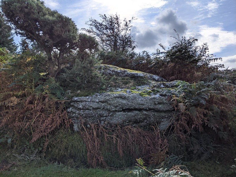
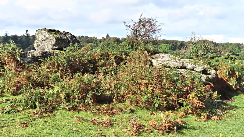
A small granite tor is set on Private Land on what is known as Brimstonedown. It appears as a low outcrop with further rocks extending downhill, with a small rock atop low bedrock. The outcrop is readily visible from the Little Kes Tor area. Due to its position, "The Brimstone" seems to be an appropriate name.
It can also be seen from the barbed wire wall beside the lane that leads to Batworthy Corner from Teigncombe. Additionally, there is a gate near the cattle grid to view the outcrop.
Despite the tor being located on Private Land, most of the surrounding area is not and the beautiful plantations of Gidleigh on the edge of the high moor can be found to the north-east; southward are the several antiquities on Chagford Common where, as marked on Ordnance Survey maps, you can find the remains of a settlement, as well as Round Pound.
Brimstone, The
The map above is not a navigation tool and we recommend that the grid reference shown below is used in conjunction with an Ordnance Survey map and that training in its use with a compass is advised.
We are proud to see the names of lesser-known tors are now being used more commonly on other websites and whilst this is to be encouraged we do request that, should you wish to use the information on this page, you provide a backlink to the website as reference, by copying the relevant address:
Please also consider a small donation to the upkeep of the site; any contribution goes toward the fees to keep the database online and any costs incurred when undertaking research such as subscriptions to online archives.