TORS OF DARTMOOR
a database of both lesser- & well-known rocks and outcrops
Dunnastone, The
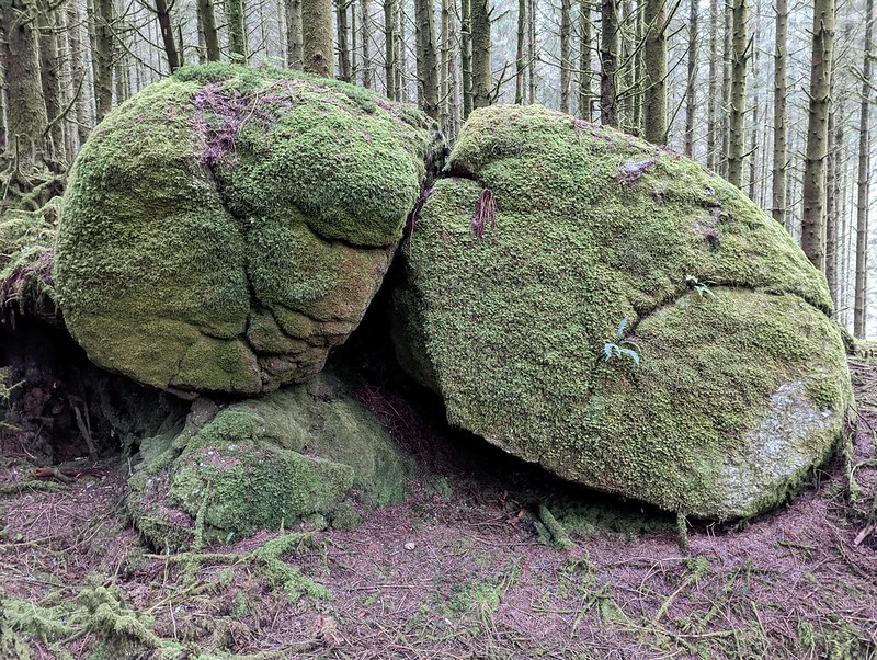 Hidden within Fernworthy Forest, this is a squat granite boulder by a dilapidated wall and an ephemeral stream a short distance from the west bank of Assycombe Brook. The rock is at the bottom of the easternmost foot of White Ridge, where a massive hill rises to the immediate west, albeit now enshrouded in trees. In the 'Fernworthy - An Archaeological Landscape' report, we learn that: "The other feature shown on the 1796 map is the Dunnastone. This is a large granite boulder split into three separate pieces and set into a gully." The report concludes: "Its size suggests that this must have been an impressive feature in this steep valley side before being hidden by conifers." 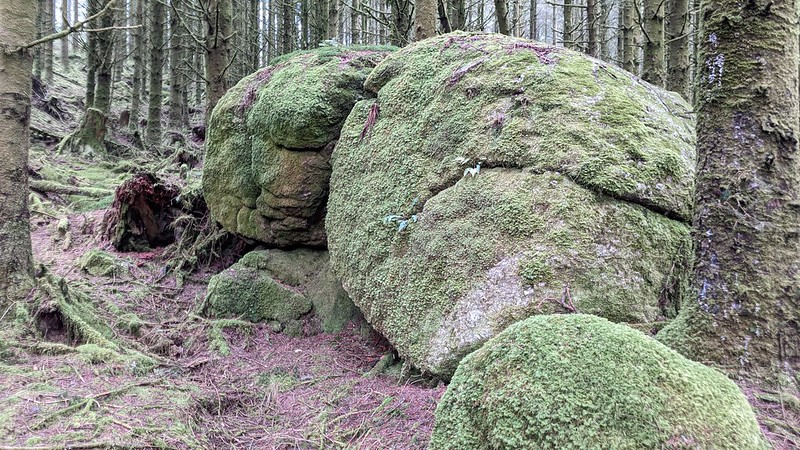 The boulder here is an attractive feature within the forest which possesses an eerie, often oppressive atmosphere as sunlight often fails to penetrate through the dense conifers. It is relatively easy to visit: from the road to the south of Fernworthy Reservoir, take the track just to the east of Assycombe Brook and follow this to the south, passing the ruins of Asacombe Farmstead above to the left. Shortly after crossing the brook on a nondescript bridge, look out for The Dunnastone to your right, just within the trees. 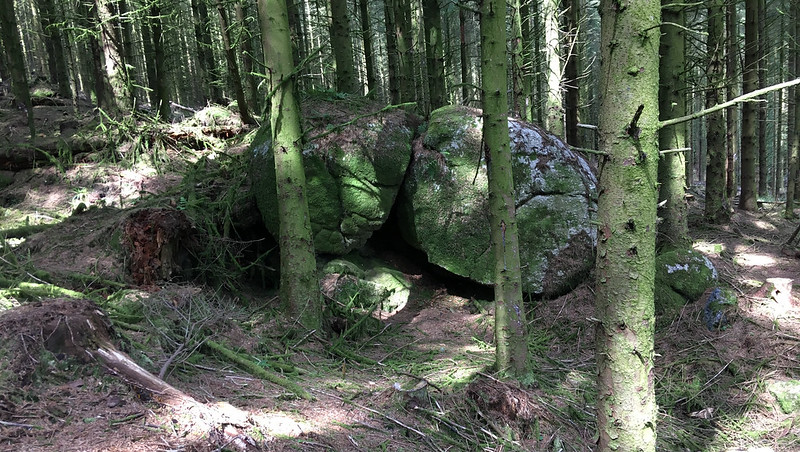 The gully adjacent to The Dunnastone is thought to be a product of tinning. It also later formed the southern outer boundary of Asacombe Farm (Newman, 2013), which also went by the name of Hamlyn's House at one time. Hemery expands on this: "Robert Burnard wrote in 1890 of the last occupant here, still a member of the old family, that "John Hamlyn was at Assacombe some forty or fifty years since." This would explain why no occupant is given in the 1843 Tithes Apportionment." 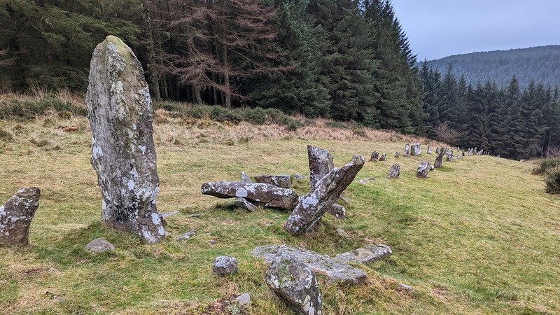 Another feature of note in the area is the stupendous Assycombe double stone row. When the Fernworthy Newtake, former open moorland, was afforested in the 1920s prior to the construction and opening of the reservoir in 1942, a number of prehistoric antiquities were under threat of being planted on. Luckily, some of these important sites were planted around and preserved. The double row here has one of the steepest gradients of any stone row on Dartmoor and is arguably accentuated by the trees, especially on a misty day. At the foot of the row is a wonderful hut circle, described by Hemery as having "a diameter of thirty feet and a well-marked doorway facing south..."
| ||||||||||||||||||||||||||||||