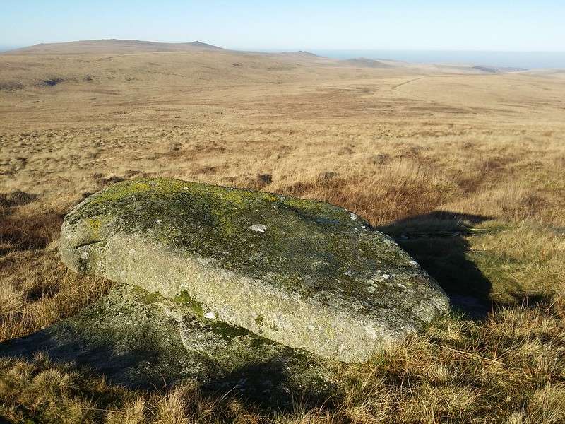
Hangingstone Hill, Newtake Hill, Hangingstone Rock
The inclination of the walker is to reach the summit of this remote hill, with its military hut and cairn, but the tor itself is a tiny outcrop to the north-west of the top.
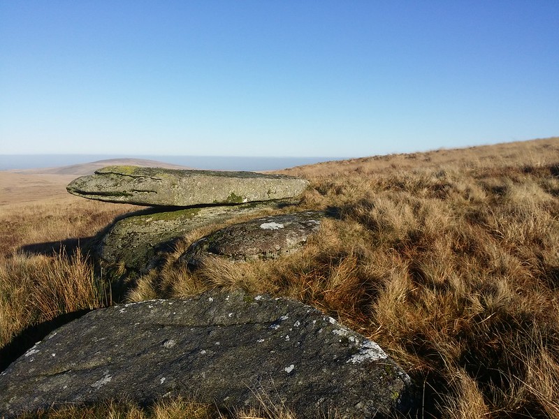
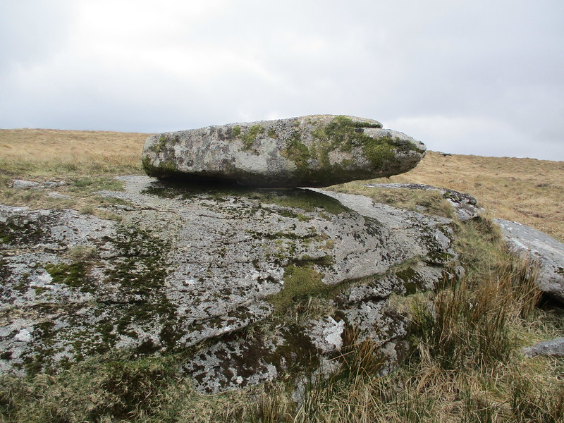
According to William Crossing, the small tor is perched on what was known as Newtake Hill, but explains: "This is sometimes called Hangingstone Hill, but that name is usually considered by the moormen to belong only to the N.W. side of it, where there is a small outlying pile of rock."
In Hemery's book 'High Dartmoor' (page 830), he is pictured sitting atop The Hanging Stone.
Hanging Stone, The
The map above is not a navigation tool and we recommend that the grid reference shown below is used in conjunction with an Ordnance Survey map and that training in its use with a compass is advised.
Grid Ref:
SX 6158 8622
Height:
596m
Parish:
Dartmoor Forest
Tor Classification:
Small
Access:
Public
Rock Type:
Granite
Credit:
Ordnance Survey William Crossing
Reference / Further Reading:
Ordnance Survey Maps William Crossing: Guide to Dartmoor Eric Hemery: High Dartmoor
Please Support Us
We are proud to see the names of lesser-known tors are now being used more commonly on other websites and whilst this is to be encouraged we do request that, should you wish to use the information on this page, you provide a backlink to the website as reference, by copying the relevant address:
Please also consider a small donation to the upkeep of the site; any contribution goes toward the fees to keep the database online and any costs incurred when undertaking research such as subscriptions to online archives.