TORS OF DARTMOOR
a database of both lesser- & well-known rocks and outcrops
Three Barrows TorThree Barrows Hill, Three Barrow-tor, Threeburrow Tor, Three Burrows, Threberis, Tre Burroughs, Triborough, Tryberie Boroughs, Ugborough Moor 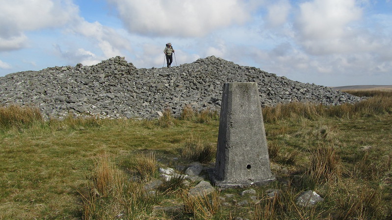 Three Barrows, on Ugborough Moor, has three huge stone cairns, one reported to be the largest on Dartmoor, and a trig point. It was once known as Three Barrows Tor, and the huge mass of clitter to the west could suggest a ruined tor possibly buried underneath the large cairns. 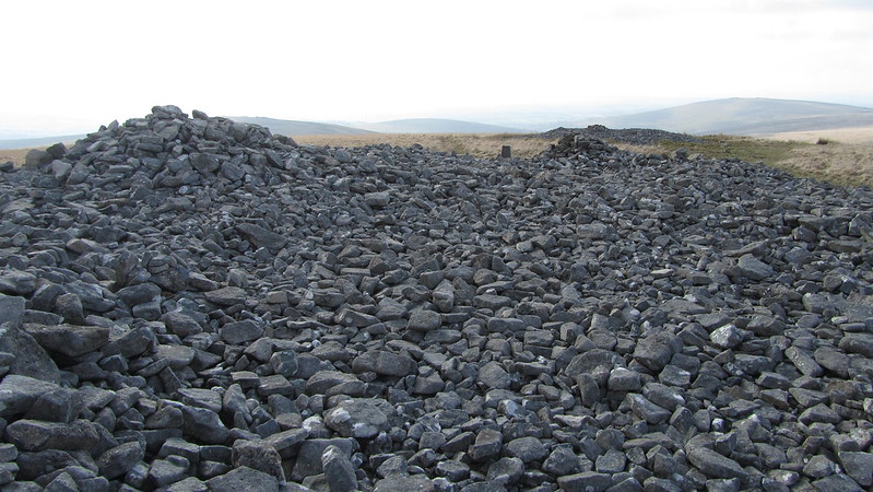 Writing in 1828 Henry Edmund Carrington gives the following account: "Three Barrow-tor in the vicinity of Ivy-bridge overlooks a beautiful and extensive view including the whole of the South Hams lying at the feet like a deliciously variegated carpet. Portland in Dorsetshire and the Lizard in Cornwall are in clear weather plainly distinguishable. Towards the west are the towns of Plymouth and Devonport- the tower crowned peninsula of Mount Edgecumbe- the estuary of the silver Yealm- and the prospect is bounded the eternal ocean". He concludes "The tor owes its name to three huge barrows or cairns on its brow supposed to cover the remains of some warriors of the olden time." 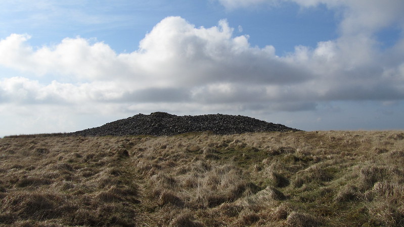 Writing very much later Hemery confirms the vantage point from the summit but prefers to give details on a selection of more local features: "...the hill is a commanding viewpoint, even the remote dome of Cut Hill being visible far in the north. North-eastward under the bold ridge of Whitaburrow are the triple indentations of Bala Brook and its twin tributaries..." An impressive reave runs up to the largest of the three cairns and marks the parish boundaries of Ugborough and South Brent. A short distance to the north-west of this a weathered OS benchmark can be found on a triangular rock at SX 65239 62686. 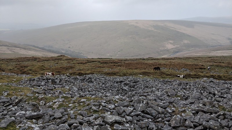 Though technically not a tor, because no bedrock is visible, we feel a little leeway is permitted given that these three massive cairns are significant in both their size and location, as is the evidence of once a likely impressive tor, its shattered remains on the western slopes of this hill.
| ||||||||||||||||||||||||||||||