TORS OF DARTMOOR
a database of both lesser- & well-known rocks and outcrops
Tors End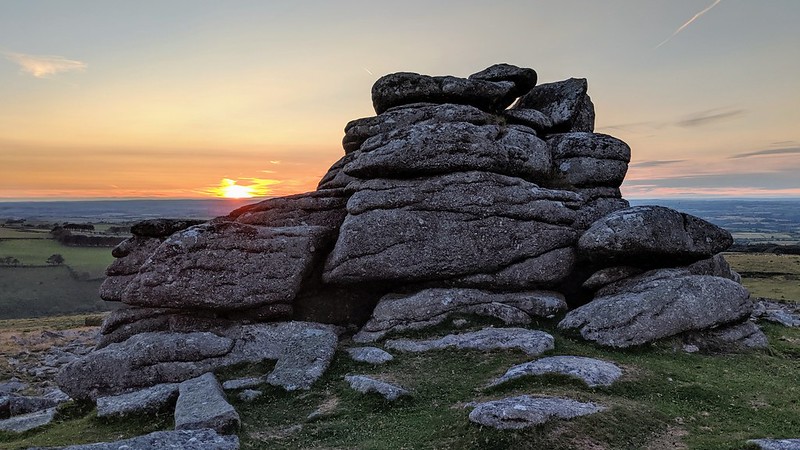 A charming start to the extensive collection of tors on the Belstone Ridge, Tors End is a long thin band of exposed granite, stretching up the north-western edge of Belstone Common, with an extensive clitter field on the western side. In 'High Dartmoor' Hemery mentions the outcrop but appears to incorrectly place it at the northern edge of the higher ground, at what we call 'Belstone Common Tor'; "...the land falls sharply to a fine satellite pile; smaller, but fiercely characteristic, its bold cone dominates the declining northward crest and is aptly known as Tors End (approx. 1,500 feet)." Also, there is, according to Hemery, a small quarry at the north end known as 'Sand Pit'. As Tors End was the easiest tor to get to and being located closest to the village it seems to have been a target for quarrying. A quarter segment of an abandoned apple crusher can be found on the east side of the main outcrop. 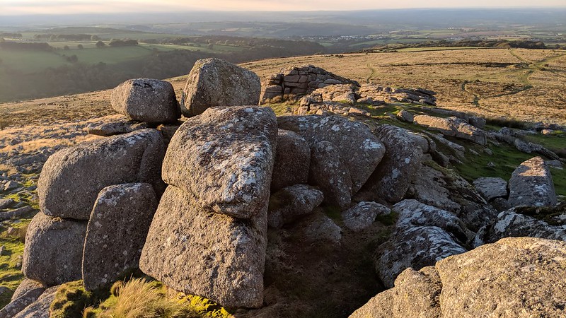 There are also abandoned millstones and troughs on the slopes all around the Belstone Tors area. Tim Jenkinson (2001/2) writes; "The quarry at Sand Pit is symbolic of the interest in Belstone's granite and most probably reflects the execution of Venville Rights, a privilege bestowed upon the inhabitants of Dartmoor in return of the payment of rent to the Duchy." Venville Rights allow local people "to remove anything from the Forest that may be for their own use and good"; they date back to 1609 during the reign of James I when it was decreed that the "digging and removal of moorstone is to be used only for the mending of houses and land." 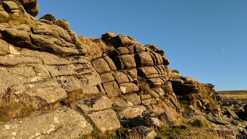 Just over 100 years ago Dora James (1911) depicts an interesting scene at the village of Belstone; she bemoans; "There are now at least two granite working yards in the village, although the owners have I believe to pay an annual fee to the Duchy for the removal of stone in such large quantities, which, if for their good, can scarcely be considered for their 'own use'." At that time Belstone was a hive of industry and rocks that were being plundered from the tors, and some stones were worked upon in situ and presumably cast aside if imperfect - that's why we find so many abandoned artefacts up there. Dora was very unhappy about the whole situation as she calls the working places an "eyesore" and felt that the process of "digging out and cutting up the glorious piles" of Belstone Tors "are infinitely to be regretted." She refers to the stones as "grey memorials". It is more commonly accepted by the locals that this, the lower outcrop, is the actual location. 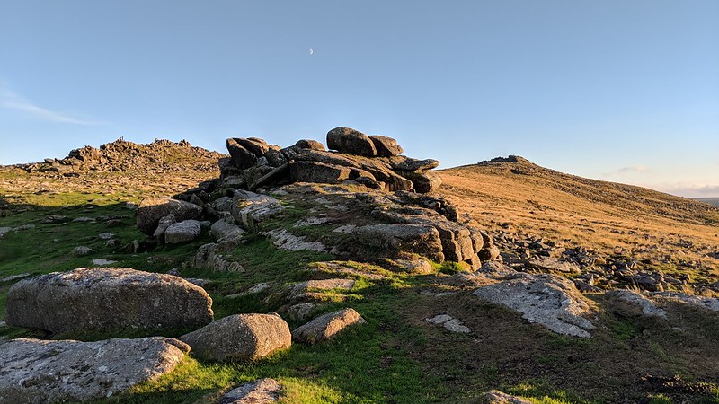
| ||||||||||||||||||||||||||||