TORS OF DARTMOOR

a database of both lesser- & well-known rocks and outcrops

Home Search Map The East Access About Team Social Blog

Tottiford Copse Tor

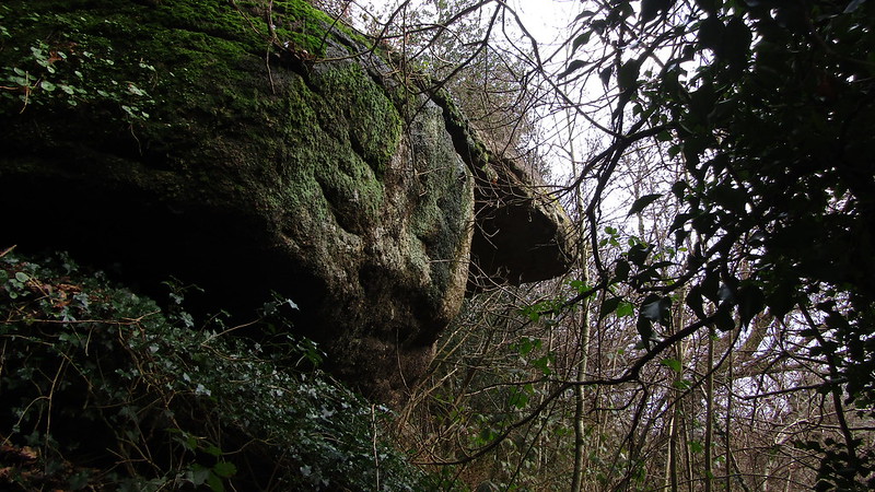
There are two huge vegetation covered outcrops of rock, one a giant overhang on the northern slope of Tottiford Copse which is a small private wooded area between Beadon Lane and Tottiford House.

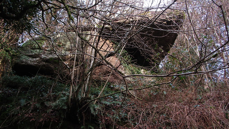
More large rocks extend through the trees to the east. Before improvements were made with the construction of the reservoir in 1860 the brook that flows through here was the original source of water for Torquay.

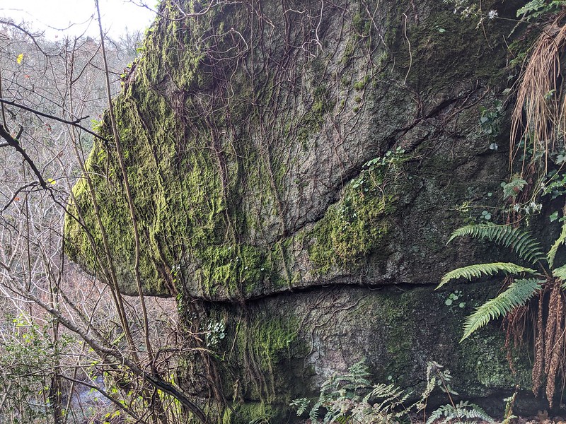
A recent visit to the area in December 2019 revealed that the tor had been cleared of vegetation; it is much easier to view from the little known woodland path weaving its way through the trees and miry landscape and when clambering up the hillside you will notice a fine avenue between the two main outcrops.
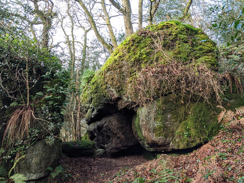
icon
icon
Tottiford Copse Tor
The map above is not a navigation tool and we recommend that the grid reference shown below is used in conjunction with an Ordnance Survey map and that training in its use with a compass is advised.
Grid Ref:
SX 8130 8204
Height:
215m
Parish:
Hennock
Tor Classification:
Valley Side
Access:
Private (seek permission)
Rock Type:
Granite
Credit:
Tim Jenkinson
Reference / Further Reading:
Tim Jenkinson: East Dartmoor The Hidden Landscape: Rocks and Tors (published privately)

Please Support Us

We are proud to see the names of lesser-known tors are now being used more commonly on other websites and whilst this is to be encouraged we do request that, should you wish to use the information on this page, you provide a backlink to the website as reference, by copying the relevant address:

https://www.torsofdartmoor.co.uk/tor-page.php?tor=tottiford-copse-tor

Please also consider a small donation to the upkeep of the site; any contribution goes toward the fees to keep the database online and any costs incurred when undertaking research such as subscriptions to online archives.