TORS OF DARTMOOR
a database of both lesser- & well-known rocks and outcrops
Trendlebere North Rock
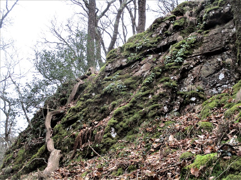 The Becka Brook and River Bovey are perhaps the two most striking watercourses that cascade over this undulating part of south-eastern Dartmoor. These lively forces of nature pass through some of the most dramatic valleys on Dartmoor, with in their midst some truly awe-inspiring lesser-known rockpiles, including Trendlebere Tor and North-West Tor, on the northern slope of Trendlebere Down. 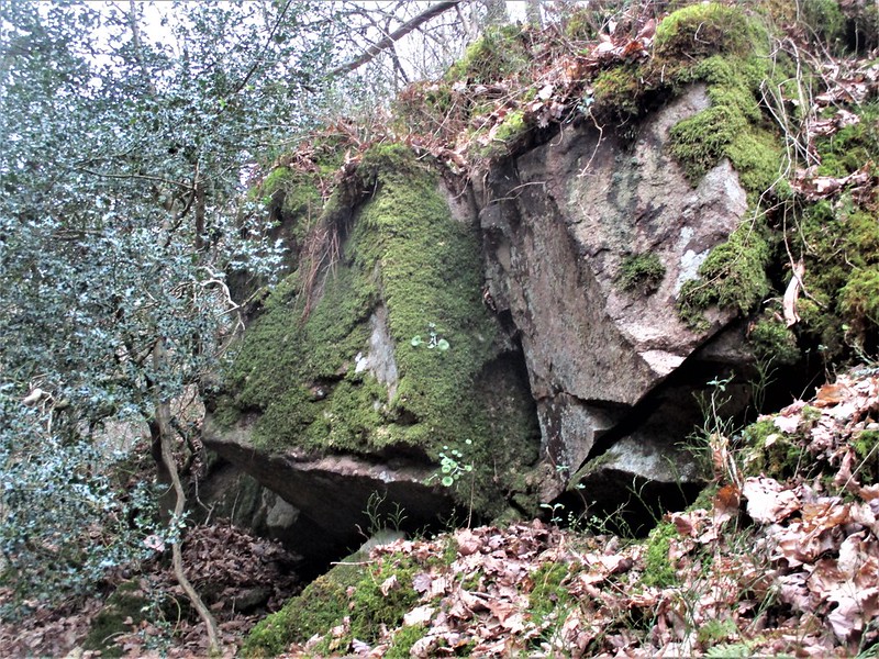 An even lesser-known outcrop, however, lies to the east, beyond the small stream that separates Manaton Parish from Lustleigh. Like the aforementioned tors, this one is also marked as a large outcrop of rock on Ordnance Survey maps, but it is perhaps more underwhelming than you might expect because it is quite camouflaged by scrub and undergrowth. 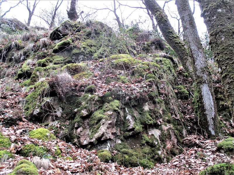 It consists of a non-granite core, essentially bedrock with loose scree running down the slope towards the Becka Brook. It is quite precipitous when seen from below as it nearly abuts to the water's edge. Access is gained by following the brook upstream from the wonderful packhorse bridge dating from the 19th Century or earlier (SX 77248 80281), first on a floodplain before narrowing into an epic, albeit rather precarious cliff face on which a narrow path ascends and descends. Soon you cannot fail to miss the lower rocks of this emergent rockpile. 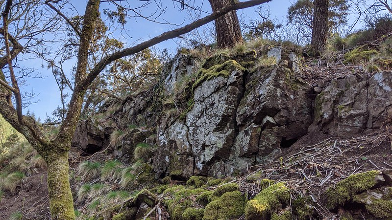 Its setting deep in the glen here far outweighs its otherwise meagre stature, but if you are brave enough you can carefully ascend the slope to the summit, a surprisingly prominent apex which opens out with a limited view towards Houndtor Wood and the course of the Old Manaton Road. Bracken covers the scene in summer so visits are recommended in winter and early spring, but please be warned that the terrain here is not for the faint-hearted and, without due care and attention, is potentially dangerous to those with a fear of heights or falling, and after a period of wet weather.
| ||||||||||||||||||||||||||||||