TORS OF DARTMOOR
a database of both lesser- & well-known rocks and outcrops
Tristis RockHall Tor, Burford Down, Cuckoo Rock 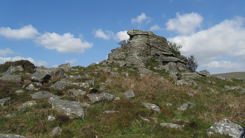 The southernmost part of Dartmoor is a beautiful area creased by steep, moorland valleys where numerous rivers pick up pace as they leave the exposed fringes of the moor. Tristis Rock, to the north of the tiny village of Harford, is to be found within close proximity to one of these, and perched above the River Erme. Sometimes referred to in the literature as 'Hall Tor', most notably by Crossing, the tor is a striking landmark that watches over the river as it makes its departure from the high moor. When viewed from the opposing hillside below Piles Hill, Tristis Rock is an obvious mass of granite situated just below the summit of Burford Down. According to Hemery (1983), the Rock was "formerly also called Cuckoo Rock." 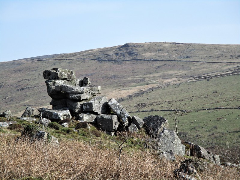 In his Guide to Dartmoor, Crossing (1912) explains that "Our way will take us to Tristis Rock, or Hall Tor, as it is sometimes called, whence we have a good view of Stalldon, with Sharp Tor and Three Barrows on the other side of the deep Erme valley." There are two main outcrops, the largest being the higher on the western side, although the smaller pile below is also interesting on account of its twisted shape that almost, at a push, resembles Bowerman's Nose in miniature. The tor presents beautifully: bracken surrounds its base and trees grow from the crevices in the topmost rock. The eastern side of the main outcrop reveals a crumbled rock face that has no doubt endured fierce winds pushing up through the valley. 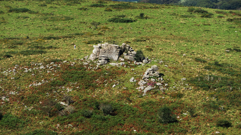 Burford Down stands testament to prehistoric times. There is an abundance of prehistory sat close by including a ruined stone row whose southern terminus is at a cairn circle little more than 150 metres to the west of the tor. Worth (1953) includes some information about the feature; "This row has been robbed of many of its stones, but is still a good example. Two hundred and eighty feet eastward of the retaining circle at the south end of the row lies another retaining circle of 18 ft diameter, within which is a kistvaen." Reaching Tristis Rock is easiest from Harford, first crossing Harford Bridge and taking the second gate on the right further up the hill before striking northward alongside the boundary of Hall Plantation where, after some time upon reaching another gate, the tor appears on the right with a grassy path leading to it. The area is well worth an exploration to marvel at the fine Rock and various antiquities. 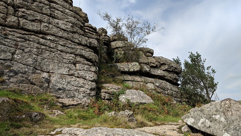
| ||||||||||||||||||||||||||||||