TORS OF DARTMOOR
a database of both lesser- & well-known rocks and outcrops
Tunhill Rocks North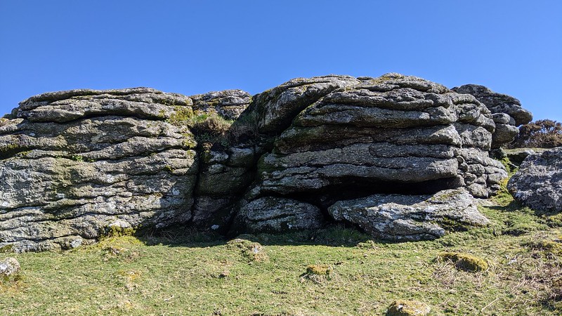 There are so many interesting rock piles along the ridge to the south of Tor Hill that crave inspection, that hardly anyone will have noticed this isolated yet fair sized outcrop that lies some way to the north of Tunhill Rocks at about 200 metres or so from the main group. It is in the region of 2.5 metres high on the west side and like all rocks in this area has quite spectacular views of not only the range of tors running to the north of the B3387 over Bonehill Down but also further west where the Hameldown massif never fails to fire the imagination. 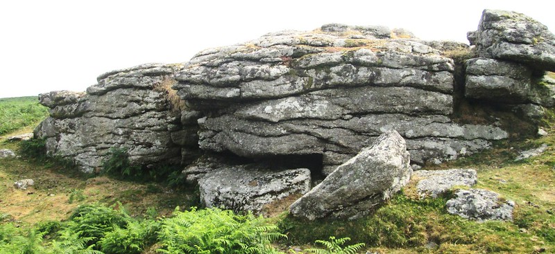 The outcrop here has a distinctive fissured appearance from below and in that respect is rather unlike the mass of granite further down the slope which is simply a magnificent tor sprawling on the hillside and one that is thought by some to be the 'Dream Tor' referred to on many occasions by the author and poet Beatrice Chase who lived at nearby Venton, the Rocks being visible from the window of her house. 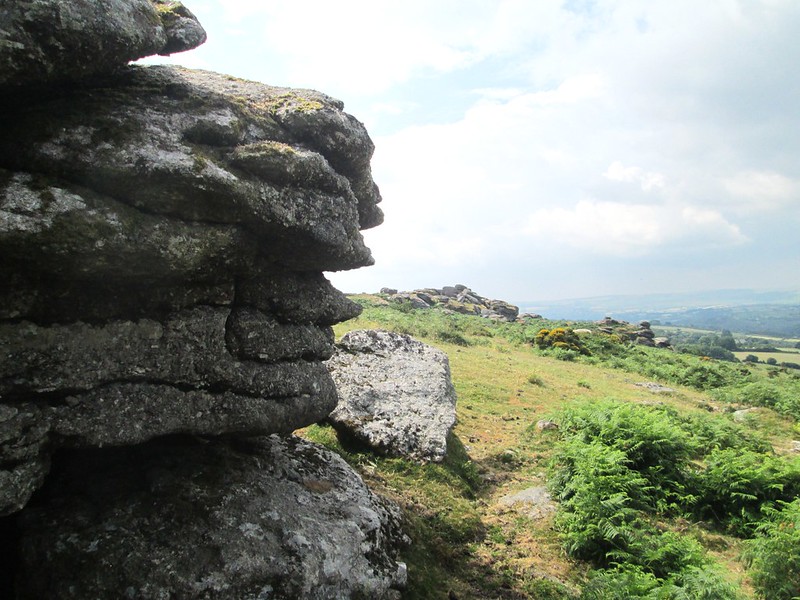 A visit to the lowly North Tor would not be complete without examining another rock of interest in the vicinity at SX 73425 76321 one that is known locally as the Shovel Stone, and once formed part of the Widecombe Town Manor boundary that had an area of some 1575 acres including the late 19th Century when 706 of these were on the open moor. 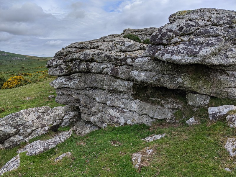 Although marked by that name on OS maps the Stone has often proved elusive and so to help with its location the noted boundary marker expert on Dartmoor Dave Brewer (2002) offers the following advice: "The Shovel Stone is directly uphill from the Rugglestone, at a point just east of the south east corner of the Southway enclosures. Standing on top of this small outcrop it is possible to see the next boundary point, the northern tip of Top Tor." More information on the exact position and appearance of this particular Stone can be found elsewhere on the Tors of Dartmoor website; please see here.
| ||||||||||||||||||||||||||||