TORS OF DARTMOOR
a database of both lesser- & well-known rocks and outcrops
Wacka TorSharp Tor, Hickley Plain 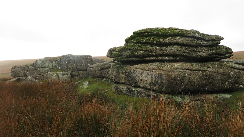 Wacka Tor is a broad collection of granite outcrops dotted across Hickley Plain, best accessed from the Diamond Lane near Didworthy below and to the east. The tor has some good outlooks, especially to the south and south-west. Consulting William Crossing (1909), he provides an alternative name for the tor as we; "Strike W.N.W. over Brent Fore Hill to some rocks known as Sharp Tor." This name is not to be confused with another Sharp Tor above Piles Copse, nearby, as he clearly marks the two outcrops separately in his 'Guide to Dartmoor'. 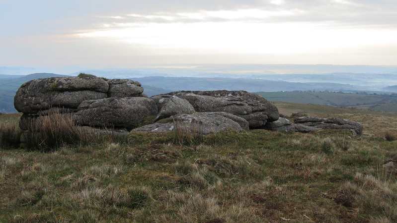 Eric Hemery (1983) explains; "The crest of this eastward rise is in the ridge formed by Brent Fore Hill and Wacka Tor (1,332 feet). This, apex of the ridge, consists of four scattered piles - one very large..." But, sadly, he introduces this strange name without indicating its origins; it is now marked by this name on Harvey's Maps but OS neither show the name nor the outcrops. In Dartmoor Magazine, Tim Jenkinson (2001) provides a detailed account; "Of curious name Wacka Tor is essentially a low lying tor of at least seven separate outcrops across the summit ridge of Hickley Plain at SX 66 62. Once known as 'Sharp Tor' (Crossing) so much of its granite has been plundered that it no longer abides by the moormans' rule of 'standing up sharply from the common', but it nevertheless provides an interesting place to explore." 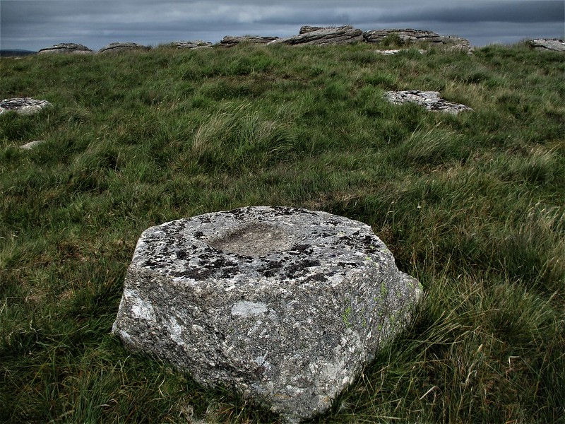 There is also a small but prominent logan stone on the western end of the tor and; "It is here within a 100 metre radius, that no less than three abandoned millstones can be found." There is also what appears to be an abandoned part cut flag staff base or cross socket stone near to the summit at SX 6629 6209, a square granite block that has had its edges chamfered into the shape of an octagon with a shallow square indentation cut into its upper surface. This oddity was first noted by Mr R Seidel of the Moorland Ramblers in the 1980s. 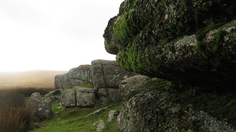
| ||||||||||||||||||||||||||||||