TORS OF DARTMOOR
a database of both lesser- & well-known rocks and outcrops
Welstor Rock EastWells Tor, Welstor Common, Wellstor Rock 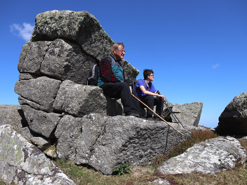 Although Welstor Rock is marked on OS maps this part of the ruined tor well to the east of Buckland Beacon was not described in Dartmoor literature until 2011 (Dartmoor Magazine, Winter), as both Hemery and Crossing seem to have overlooked it. It presents as a small twisted stack amid a sprawling clitter. 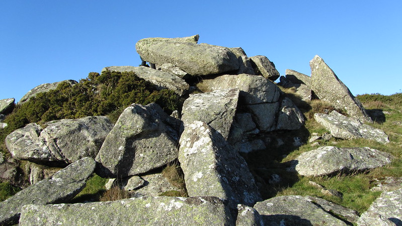 Crossing's reference to Welstor Rock is: "The road runs L. to Ausewell Cross, but we shall keep R., or northward, and speedily reach the commons which are here enclosed by a wall L. In this, however, there are three gates, and on reaching the first we enter and pass up the slope W., with the Rifle Range R., to Welstor Rock. In front of us is another wall, in which there is also a gate, and passing through this we shall find ourselves close to Buckland Beacon." Tim Jenkinson gives us a reason: "It is the reference to the gate in the final sentence of this quote that indicates that Crossing was at the top part of the tor somehow having missed the more obvious rocks on the hillside that lie on the eastern side." 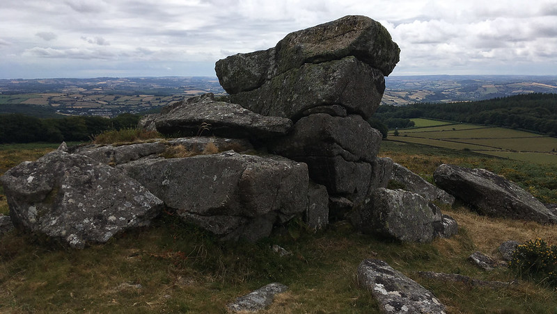 Hemery writing some 70 years later also uses 'Welstor Rock' but describes it as a pile that is "completely in ruins", having "shed its weathered slabs flat upon the ground". It is clear that both authors are talking about the top pile visible from the Beacon, and not this more impressive outcrop lower down. Tim Jenkinson also gives us other reasons as to why this tor has been omitted from the literature - reasons such as gorse and it not being visible from the Buckland Beacon side, which, it seems when reading Hemery, was his approach on the common. 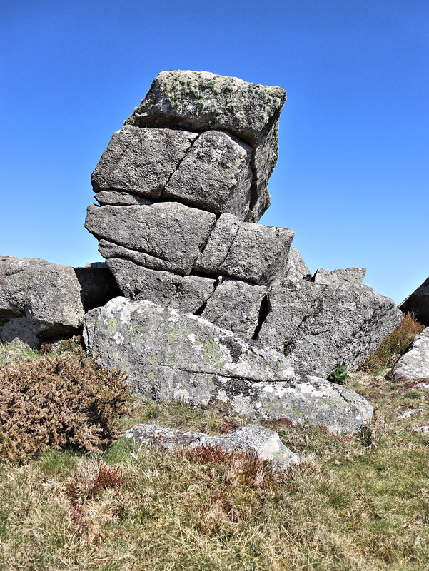 At the tor remnant there is evidence of rock splitting and tucked some 50 metres under the south side of the stack is a small quarry at SX 7381 7286. It has a decent rock face on its west side and there is evidence of further splitting from the main bed of rock. Above the excavation there are some other scattered boulders that also show signs of being worked.
| ||||||||||||||||||||||||||||||