TORS OF DARTMOOR
a database of both lesser- & well-known rocks and outcrops
West Down Crags
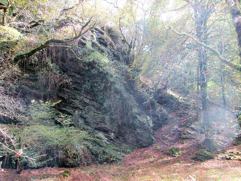 This is a massive, monster rock face upstream from and north of Double Waters at the foot of the hillside that has been dubbed, by Paul Buck and Tim Jenkinson, as West Down Crags, being sited on the far south-west edge of West Down. 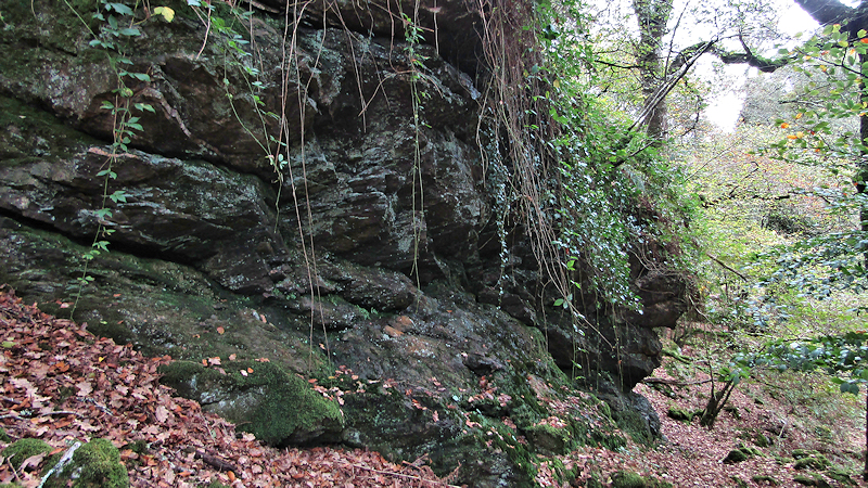 From Double Waters, a footpath heads north beside the crags of Goat Rock before crossing a footbridge and entering a floodplain. As you progress a short distance, you will notice a giant crag to your right which is the lowest part of the West Down Crags collection and heralds the start of a magnificent series of rocks. Draped in moss, climbing plants and harbouring resilient trees that grip to the very substance of the rock, the cliff here is a dramatic feature of this stretch of the River Tavy and there are further crags on the opposite bank, these on private land, however. 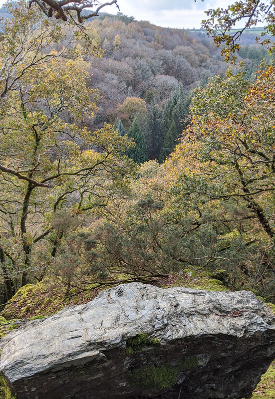 Heading up the hill, more crags are reached, and as the ground plateaus out you will come to the summit rock, this being a conspicuous outcrop a stone's throw from the West Devon Way. Keith Ryan (2014) describes the feature as "an isolated piece of country rock" and in another walk three years later as being "composed of quite soft country rock slate; it is easily scratched with another stone." According to the Geology of Britain viewer map, the predominant rock type here is slate from the Tavy Formation; "Sedimentary Bedrock formed approximately 359 to 383 million years ago in the Devonian Period." 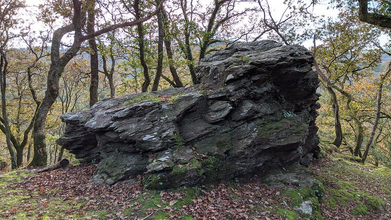 There are good views from the summit in winter months of the opposing wooded hillside and the patchwork of fields beyond, but at other times of the year these are restricted by overhanging foliage. Moss has attached itself to many of the rocks here almost making them indistinguishable from tree stumps, which is particularly prevalent on the tops of the rock ledges that cascade down the steep hillside towards the river. The terrain around here can be problematic due to the sheer drops and loose ground that can make walking through the rocks difficult, so caution is needed when nearing the main piles.
| ||||||||||||||||||||||||||||||