TORS OF DARTMOOR
a database of both lesser- & well-known rocks and outcrops
West Mill TorWest Mil Tor, Miltor, Mill Tor, Middle Tor 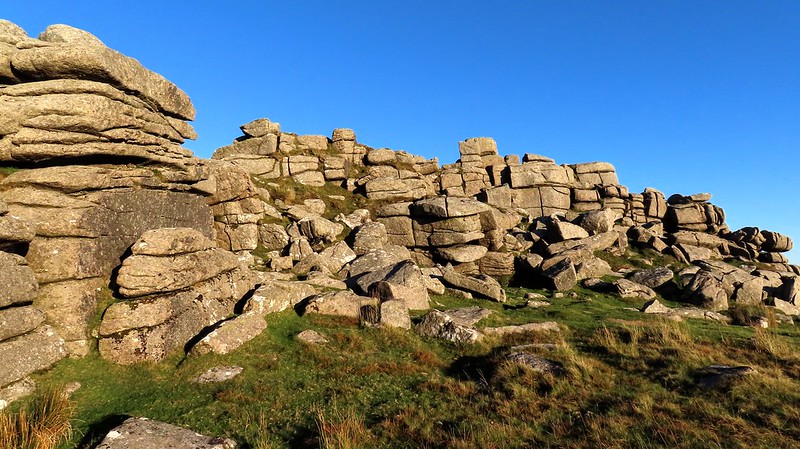 Dartmoor is home to many impressive masses of granite, especially in the north-west part of the moor where many of them can be found atop high, imposing hills that dominate the lowlands of West Devon. One of the grandest of these is West Mill Tor which is located between Rowtor and Yes Tor above Okehampton Camp that is home to the well-known annual Ten Tors Challenge in May. West Mill Tor is a giant, and with one of the most difficult clitters to negotiate especially on the east side as it goes on forever. 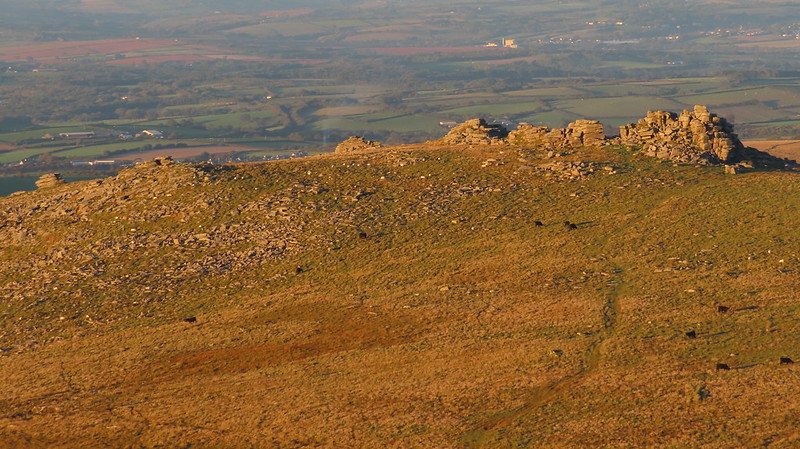 Somewhat overshadowed by its higher neighbour, Yes Tor, West Mill Tor is still a prominent peak in the landscape with its striking tower of rock being visible from miles around, particularly from the north as you drive onto the moor. The arrangement of granite almost resembles a ruined castle, and Eric Hemery (EH) further remarks that "...the west side is a dramatic ruin; the north-east portion of the pile consists of a large, natural court-like clearing under the shadow of a vast and rugged 'wing-wall', and north of this are several detached piles - two of them large - and other scattered ones beyond." 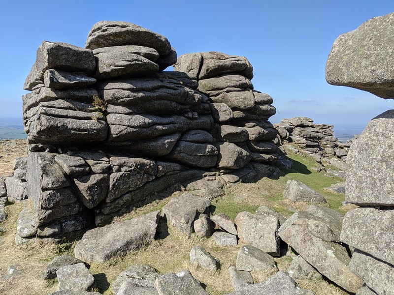 There are two little-known features noticed by Max Piper in 2020 to the south-east of the summit stack: at SX 58932 90811 there is a ruined hut, possibly a tinners' hut, and at SX 58996 90739 there are about 5 or 6 small stones standing in a line facing E.S.E. that could mark a track used by the military as there is no record of this being a prehistoric site. Both of these features were seemingly noted by EH; "On the east flank of Dinger Plain, near the tor, is a small butt, near to which a number of small stones, none more than three feet high, have been set in the ground. They do not form a pattern of any sort and are likely to be connected with military activity." It is unclear if EH is describing the same set of stones. 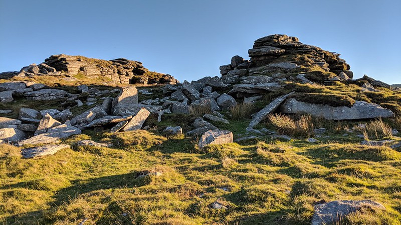
| ||||||||||||||||||||||||||||||