TORS OF DARTMOOR
a database of both lesser- & well-known rocks and outcrops
West Sharpitor (Lustleigh)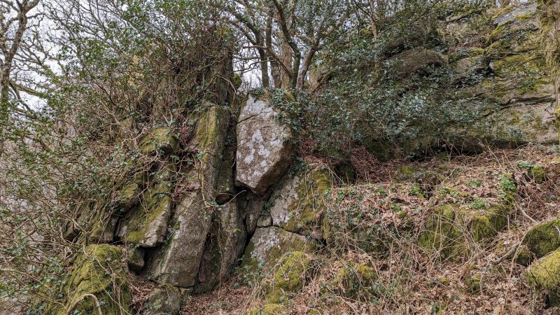 Somewhat distinct from the menacing crags of Sharpitor is a group of outliers to the immediate west. These almost entirely reside below the public bridleway and demand thorough exploration to the eagle-eyed visitor. Only a small outcrop embedded into the wall, which Max Piper states "looks like a loaf of bread", sits above but pales in comparison to what is in fact a pretty grand rock ridge. 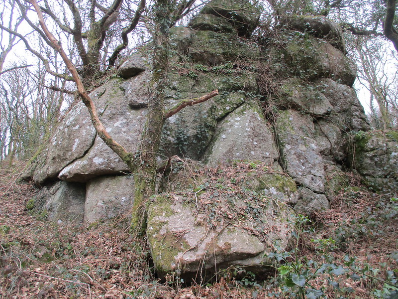 The rocks extend from SX 7707 8150 close to Raven's Tower westward to a point at SX 7698 8156 where a number of craggy rocks, split and filled with vegetation, stud the slope. Some of these rise quite splendidly from the steepening gradient but are well hidden from above. They are all clearly an extension of Sharpitor proper which, before the natural regeneration of trees, would have been a spectacular sight to behold, its beauty visible from far and wide, with innumerous rocks, weirdly shaped and cascading down the hill, standing sentinel above the River Bovey as it leaps over granite boulders in the valley-floor. 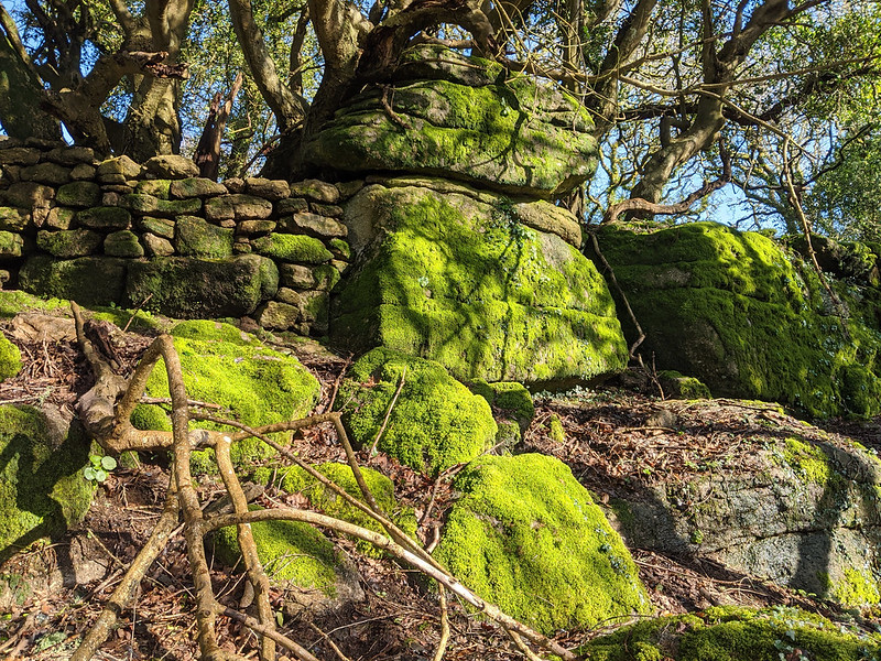 Visits to the area are recommended in the cooler months when the bracken is at its thinnest; otherwise some of the rocks can be problematic to visit and inspect. The simplest access is from Hammerslake, taking the public bridleway up the steep, rocky slope passing Hammerslake Tor and Sharpitor before reaching a viewpoint, shortly after which looking down to your left these rocks can be found. 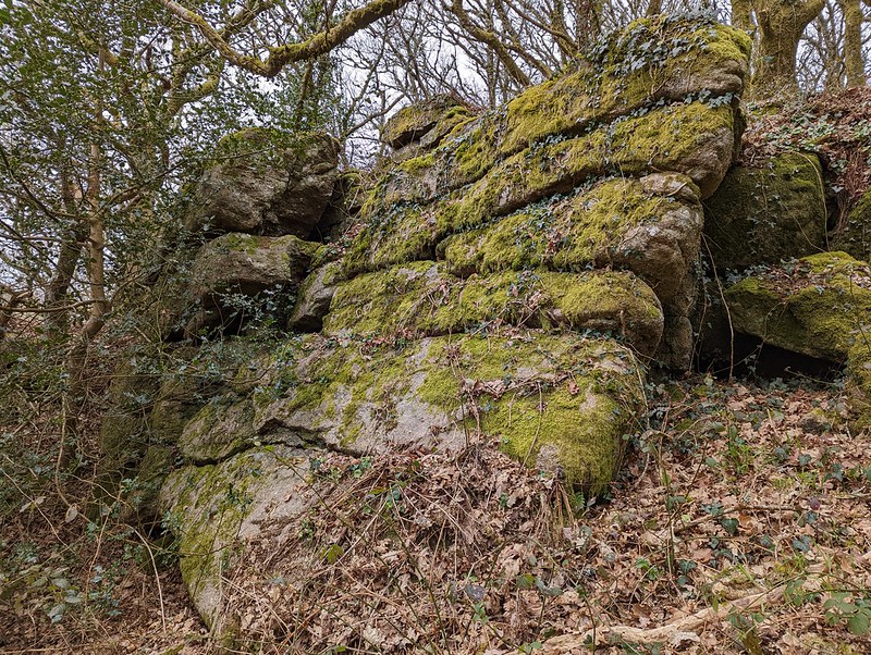 Tim Jenkinson noted West Sharpitor in 2012 on his Flickr Photostream where he documents four outcrops. The scenery here is archetypal of Lustleigh Cleave, with strewn boulders and clitter speckling the woodland floor. The tremendous views that were once witnessed by the Victorians before the prohibitive trees overwhelmed a former moorland grazed by sheep are no more, but we are nonetheless left with a captivating set of rocks, part of a gigantic tor, which no doubt has more to reveal as you round every corner.
| ||||||||||||||||||||||||||||