TORS OF DARTMOOR
a database of both lesser- & well-known rocks and outcrops
Westcott South
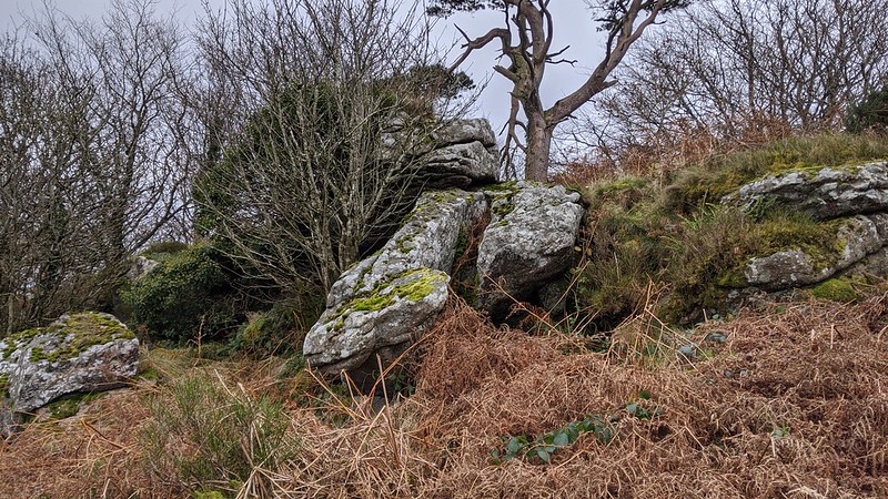 The sweeping hills and valleys of East Dartmoor give rise to a magnitude of rocks and outcrops. Two of the most well-known are Blackingstone and Heltor Rocks which are linked to King Arthur and the Evil One (aka The Devil). A little closer to Blackingstone on an unnamed hilltop to the north lies a buried tor which is just beneath the Ordnance Survey (OS) trig point at 335m. Today the land around Westcott South is largely farmed and the plantation to the east used for industrial purposes. When the area was visited a few years ago access was unclear. It has since been confirmed that the trig point and tor lie on private land and that, should you wish to visit, you obtain permission from the landowner. 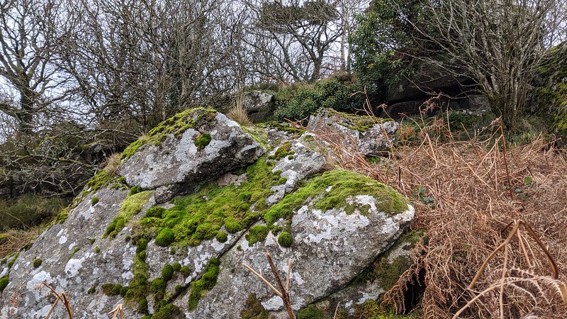 The tor here is an elongated outcrop that extends west to east, following the gradient of the hill. It is located in what the 1841 Tithe Apportionment for Bridford called 'Plantation', and the same is still true today, with no views from the tor itself. The nearby trig point has a flush bracket number of S5327 and in contrast to the tor's position affords an impressive vista towards the north escarpment of the high moor. It is partially buried in gorse. To the south-west lies a smaller, detached and flatter outcrop which lies in the plot marked as 'Down'. 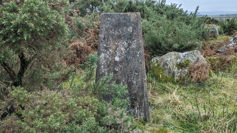 Below the hilltop to the east lies an old road between Westcott and the County Road between Blackingstone Rock and Plaston Green. Once clearly marked as a route on both Tithe Maps and historic OS Maps, it has sadly fallen into neglect. This general region was the site of extensive quarrying in previous centuries including Westcott Quarry to the north and Blackingstone Quarry to the south. The closer of the two, Blackingstone, is a large quarry and Nick Walter (2018) states that: "Blackingstone has the earliest record of any local granite quarry." In 1837 The Western Times wrote an advert which surmised that: "These quarries are well known to contain the best granite in the County of Devon; large quantities have been used in the late improvements in the City of Exeter, and in the creation of the New Market at Crediton." 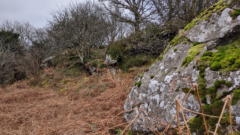 Walter concludes: "Blackingstone continued in work well into the twentieth century. At the end of the Victorian era Easton's were employing 27 workers at the quarry. Activity gradually declined after that, with the quarry reverting to private ownership, but with some work continuing to the present day." The quarry site is now flooded and is strictly private. On reflection it is amazing that the surrounding tors survived the blasting.
| ||||||||||||||||||||||||||||||