TORS OF DARTMOOR
a database of both lesser- & well-known rocks and outcrops
Whooping RockPiggie Rock 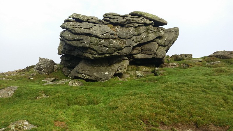 One of the earliest mentions of Whooping Rock comes from John Chudleigh in 1892 where he writes "On East Down there are some hut circles in a good state of preservation with stones of large size. Near the summit of the Down is a rock marked on the Ordnance Map as a logan, but which my informant says does not and never did rock. It is called the Whooping Rock from the belief, so it is said, that children placed in the midst of a flock of sheep will be cured of whooping cough; this rock being a place where flocks congregated was a likely place of cure." 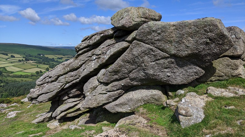 As well as repeating the whooping cough tale William Crossing (1909, p.265) advises that Whooping Rock is also linked to an NT Carrington poem (1826) as the noise that the rock made in "tempestuous weather" occasioned "by the wind rushing through some aperture". 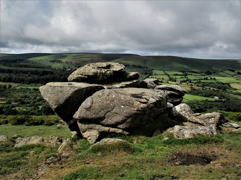 Despite this and the name still appearing on modern OS maps but no longer marked as a logan, Eric Hemery (1983, p.724) chooses to use an alternative; "I can only record that among the people of the Barramoor valley and Manaton the rock is not known to have been so called, and that the folk-name preserved and still used is 'Piggie Rock'." 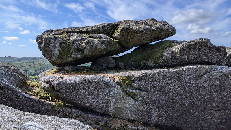 The Rock itself is essentially a very large compact outcrop, it is the most noticeable and conspicuous of the scattering of rocks near the summit and OS triangulation pillar. It is possible that the uppermost rock (see photo above) is the logan referred to in Chudleigh's account. Views from the top of the Rock are exhilarating with the visitor's attention immediately drawn to the south and west where the huge whaleback of Hamel Down is seen almost in its entirety.
| ||||||||||||||||||||||||||||||