TORS OF DARTMOOR
a database of both lesser- & well-known rocks and outcrops
Wicketts Ground Rocks
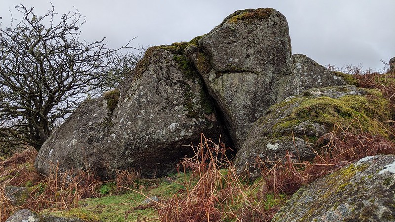 The best part of this charming little rockpile is set on the slope to the west of the River Swincombe just outside the enclosure wall in a plot of land that is marked by the curious name of Wicketts Ground on the 19th Century Tithe Map. Consisting of two large boulders that are propped against one another on top of a third, with other lumps of granite strewn around, the rocks are on the edge of a large hollow the sides of which are dotted with resilient hawthorn trees. More of the tor extends beyond the walls to the south straying into a private enclosure marked as 'Arable Piece' on the same Tithe Map but the boulders whilst of considerable size are much less interesting. The long distance views from here are very good especially to the north towards Bellever Tor. 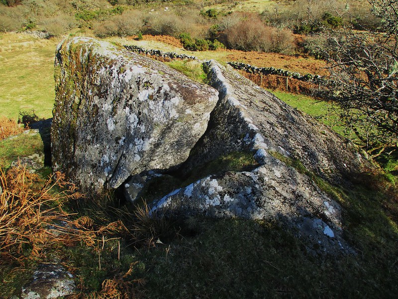 It seems that the Wicketts Ground site but on much higher and flatter terrain to the north was once used for horse racing. This is recorded in the Exeter Flying Post of September 13th 1890 under the heading 'Hexworthy Races an Adventure' with journalist Old Stager providing the following account 'In all the changing scenes of life I little expected to find myself this day September 11th 1890 on Wickett's Ground Dartmoor (Why Wickett's? Who was Wickett's?')' We learn from the same article that Mr Coaker of Sherberton gave kind permission for the races that day. However, the Wicketts conundrum raised by Old Stager (with the use of a rogue comma) remains alive in the 21st Century. 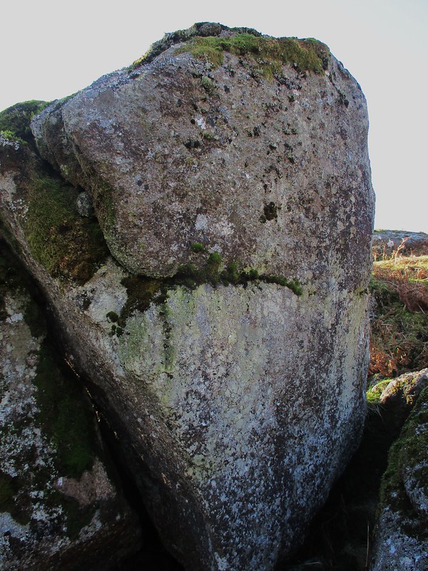 Getting to the lower part of the tor is a little tricky, the river must be crossed at Fairy Bridge and then heading north through the ruins of John Bishop's House there is a stile in the outer fence that gives access to the open moor. From here follow the wall east crossing some marshy ground and a little feeder stream before reaching the rocks just as the ground begins to slope away. On the way through to Fairy Bridge the tin mining antiquities at the ruin of Gobbet Mine are a particular attraction where several mould and millstones are still extant at SX 6451 7281. 
| ||||||||||||||||||||||||||||||