TORS OF DARTMOOR
a database of both lesser- & well-known rocks and outcrops
Winter Tor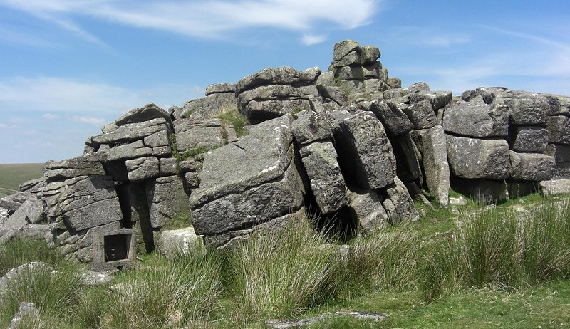 The northernmost part of Dartmoor is very dramatic where giant heaped tors overlook newly-born streams that begin life in the peat bogs of the central plateau of the North Moor. On the slopes of these hills huge clitters are strewn in wonderful fashion, their presence indicative of once truly massive rockpiles that have been weathered and eroded over millennia. Belstone Common is one such place that is noted for its magnificent outcrops which command the skyline from all around, but below the ridgeline there is Winter Tor which is perhaps an anomaly in that it does not sit up on the ridge and is largely, it would seem, overlooked in favour of neighbouring tors. 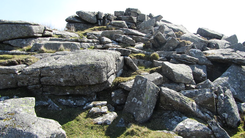 Indeed, the tor seems to be knocked out of prominence somewhat by the rising hillside to Belstone Tor and Higher Tor, the former bisected by the Irishman's Wall, yet it retains a character and charm all of its own. When viewed from the track to Cullever Steps from Hartor Hill and Hole, it presents as a pointed outcrop above an impressive scree that runs down to the right bank of the East Okement River, a lovely glade in the summer. Hemery (1983) adds to the tor's appearance: "Much broken on the west side, its clitter reaches to the river's right bank; an attractive symmetry is, however, formed on the opposite, east side. The tor consists of three frost-parted slabs, the western stone apparently developing into a logan..." Other rocks display evidence of having once been worked by stonecutters who likely took advantage of the tor's relatively close proximity to the edge of the moor just like they did at Tors End that is even closer to Belstone village. A tiny rock basin can also be found on one of the topmost rocks. 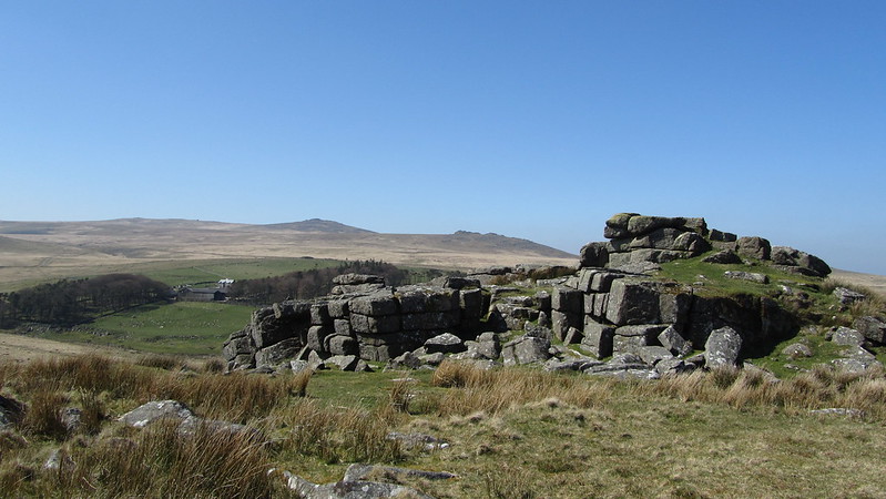 The blocks that constitute the main mass of Winter Tor are fascinating to observe and the tor is best appreciated from the underside. On its southern face and immediately below the summit there is a military telephone point (see photo one); now redundant it would have served the military during training practices. As close as the tor is to the track between Cullever Steps and Oke Tor, it may be bypassed en route to more interesting places, but do not make that mistake. Sit atop the summit stack and rest for a while, taking in the thrilling vista westwards to Yes Tor, West Mill Tor and Rowtor, with smaller tors in between including Little Tor, and you will begin to realise that along with the interesting composition of the granite jointings this is a scene worth digesting, each tor punctuating the skyline creating an unparalleled landscape in this area of the moor that will cause the visitor to evoke special memories. 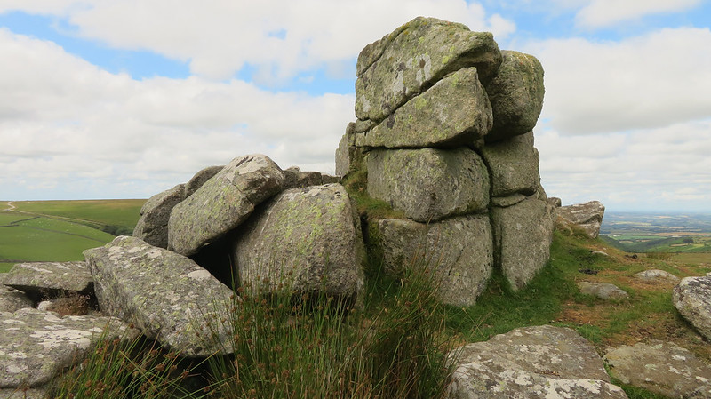
| ||||||||||||||||||||||||||||