TORS OF DARTMOOR
a database of both lesser- & well-known rocks and outcrops
Winterlear Tor
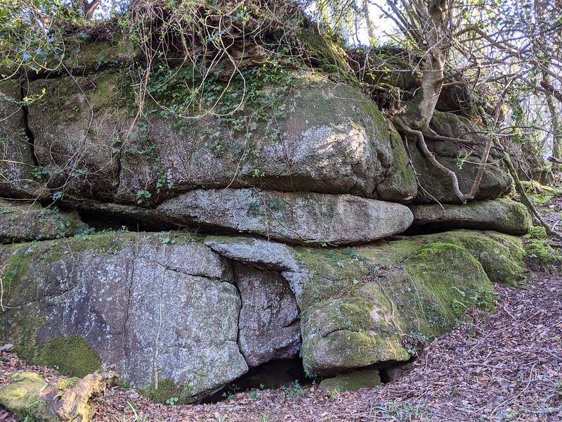 This is probably one of the most remote tors to be identified in recent years. It lies some 400 metres or so to the north of the much better known Shap Tor Rock and is set quite low down on the slope. It was discovered by Max Piper in early 2022 who was following up a lead that he had spotted on the OS map of the area showing a depiction of what looked very much like an old quarry excavation. However when he arrived and to his pleasant surprise, he stumbled across at least two heavily vegetation covered outcrops in that part of the wood that is recorded as 'Winterlear' on the Tithe Map of 1840. 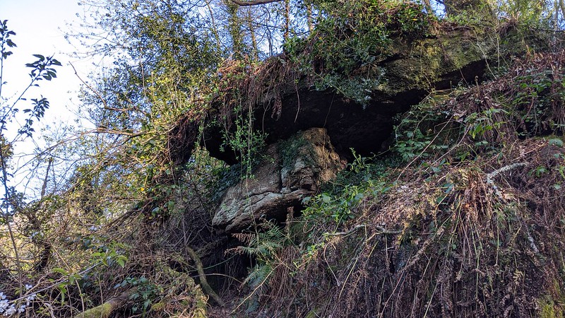 The route to the rocks is essentially all downhill from the summit of Shap Tor although the ground underfoot is not good in places. That said, it can still be negotiated with a bit of care and perseverance walking through sections of unchecked scrub and woodland and crossing at least two old field boundary walls. There is not much to see from the top of the rocks but by dropping down the slope a little further the extent of the small tor is revealed. The upper outcrop is probably the best a nice good sized compact pile that is topped with vegetation. 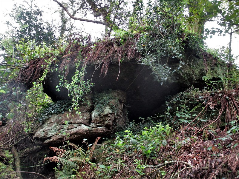 Lower down and to the west is a scruffier outcrop this one presenting as a small overhang its stature camouflaged somewhat by overhanging brambles and other plants, this is a dark and dripping pile set above a rivulet that seeps its way through the wood here. Not only does the visitor get a sense of solitude and seclusion under the rocks but might also experience a degree of claustrophobia in what is now a rarely explored place. 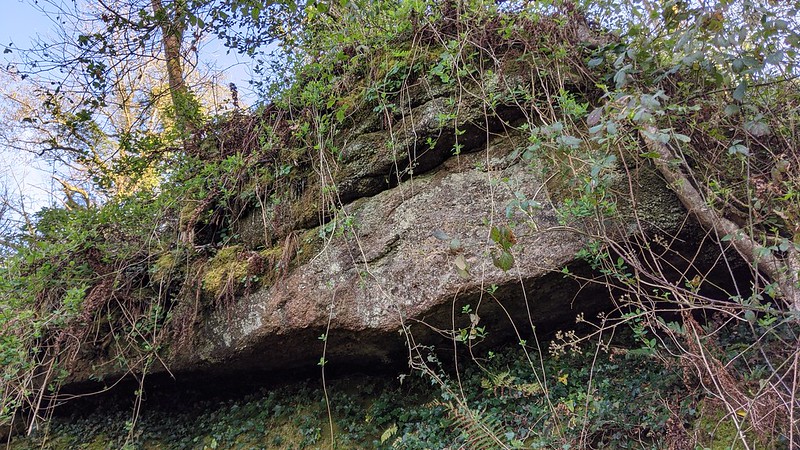 A truly long forgotten rockpile Winterlear Tor has been rediscovered for the next generation of tor hunters, a small tor that in the past would have only been known to perhaps the labourers who built the nearby walls or the occasional rambler. In that sense it is a fascinating addition to the East Dartmoor landscape.
| ||||||||||||||||||||||||||||||