TORS OF DARTMOOR
a database of both lesser- & well-known rocks and outcrops
Wooder Goyle Rocks
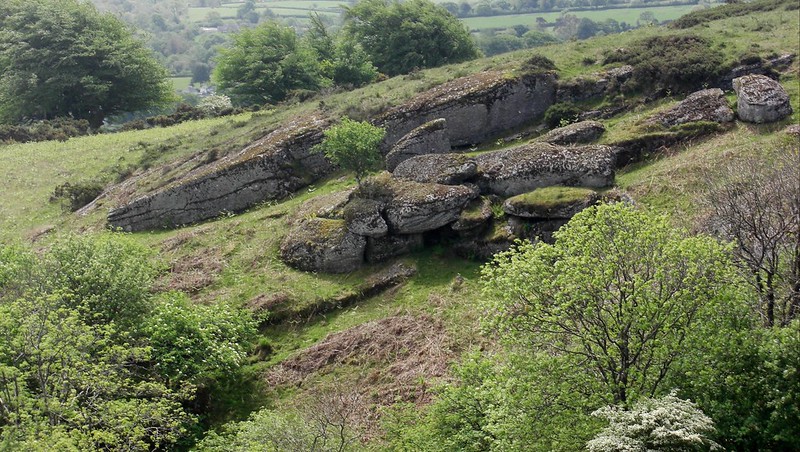 Although these rocks require some effort and perseverance to reach, they are very much worth a visit set well down on the lower south eastern slopes of Hamel Down beneath the broad pan of Coal Mires, in a picturesque spot named as Wooder Goyle by Eric Hemery (1983). Whilst describing the course of a unified stream running below the mires here, the author rightly bemoans the poor Ordnance Survey (OS) representation of the area, for not only are the obvious rocks omitted from maps but so too are many other features such as the name of Old House Hill and the depiction of its boundary stone to the north. Hemery waxes lyrical about the scene he finds "this rocky hollow is a beautiful one, with clitter on the slopes above brilliantly adorned by heather and the blazing gold of gorse beneath a heavily fruited rowan tree. Downstream some three hundred feet above the valley floor, the beetling rocks of Wooder Goyle are poised precipitously above the steep drop of the stream." 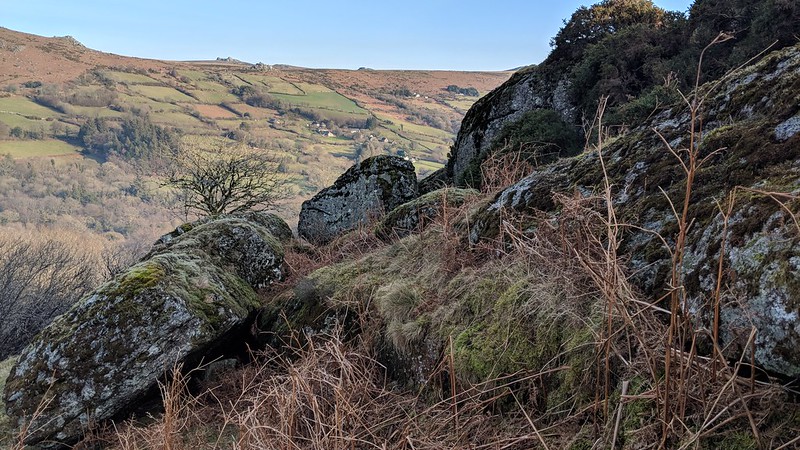 Writing in 1999 Tim Jenkinson is equally impressed "The Goyle begins as a dense clitter that is packed into the hillside above the ford (Crossing Place) and rapidly descends to a ruined tor on the right bank amid tall rowans and oaks. This is altogether a most special place. Once again not found on OS maps the rocks of the Goyle rise up from the small stream bed that begins its fall through the wooded valley below. Containing caves in their midst the giant rocks are quite easily the most impressive granite feature of the entire down." 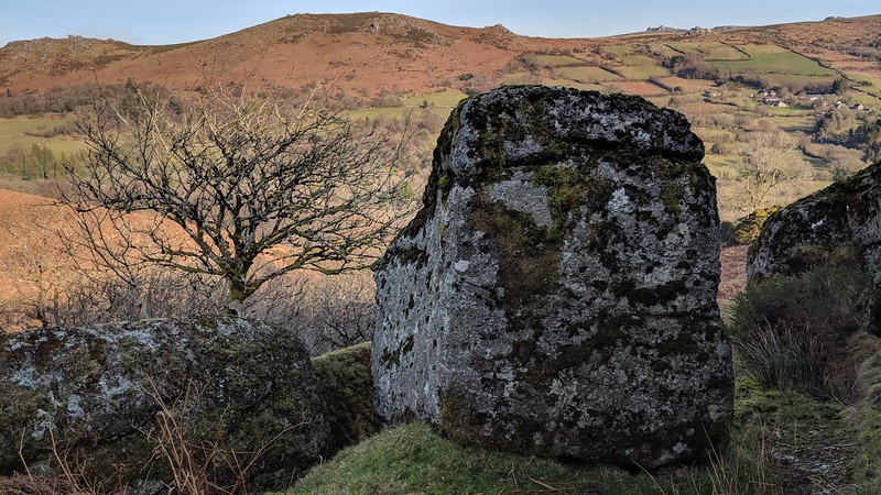 Views are concentrated to the east where the range of rugged tors above the East Webburn Valley are simply spectacular. As with many secluded and rarely visited tors the rocks of Wooder Goyle are best visited in winter or spring when as Hemery notes "the water is up and the bracken down." 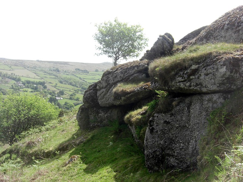
| ||||||||||||||||||||||||||||||