TORS OF DARTMOOR
a database of both lesser- & well-known rocks and outcrops
Yar TorHurtestorre, Hartor, Hurtetorre Doune, Heart Tor, Heartor
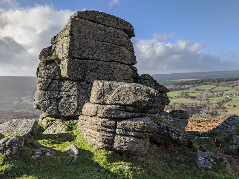 Being located about 700 metres away from the road which runs between Ashburton and Dartmeet means Yar Tor is perfect for a stroll and its views from the large summit cairn are fantastic and well worth experiencing. The cairn, which is sat atop a low outcrop, is unique in that it is spiral-shaped which is likely down to interference from modern hands but this does not detract from the beautiful surroundings. What catches most visitors' eyes are the aforementioned views but head north of the cairn and you will discover several interesting granite outcrops, the most impressive of which (and the one pictured above) sits on the west side and overlooks Badgers Holt which is some 170 metres below but seems like an eternity if climbing up from there a route not recommended. Some of the rockpiles here culminate into small rock shelters and canopies which can provide excellent protection from prevailing winds. 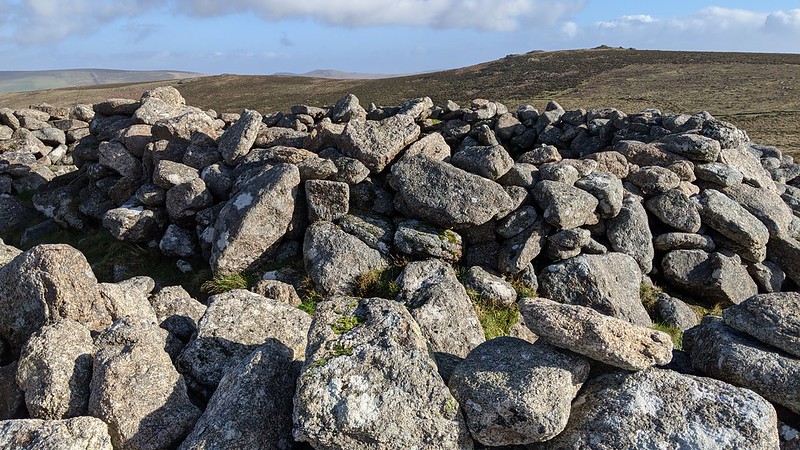 Over the years Yar Tor has been afforded many names which are mentioned by Eric Hemery (1983) in his book 'High Dartmoor'; "Originally one of Dartmoor's several 'Hart' Tors (E. Ockment one, Plym two, Mewy one) it was 'Hurtestorre' in 1377, 'Hartor' in 1578 and 'Heart Tor' in the Vaghill Warren lease of 1613." 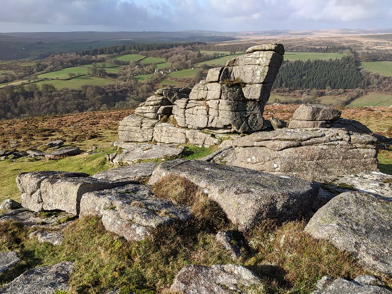 About 250 metres east of the tor and across the road from the Cave-Penney Memorial Cross a triple stone row can be found amongst the gorse, its southern section still in situ residing at SX 68134 73934. Well recorded in the literature it is Richard Hansford Worth (1953) who perhaps supplies us with the best description of this relic, stating "The original length of this row must have been at least 1,500 ft." and he also mentions the 'Money Pit' (pictured below with Yar Tor in the background), a cist or kistvaen situated at the southern end at SX 68176 73858; "The kistvaen is set in a barrow, and has two retaining circles, an inner random kerb, 11 ft 6 in. outside diameter, and an outer circle of 36 ft outside diameter." Sitting on the same alignment it is likely this is the true end of the stone row at the southern end and is backed up by Worth. 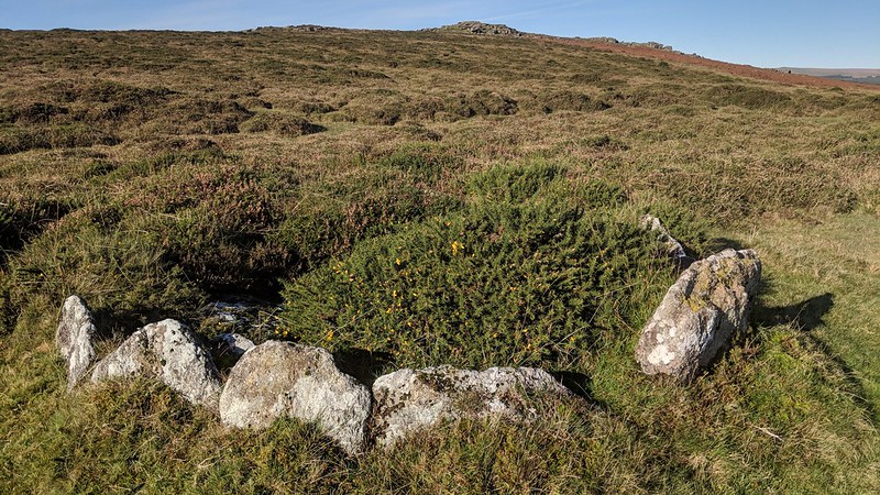
| ||||||||||||||||||||||||||||