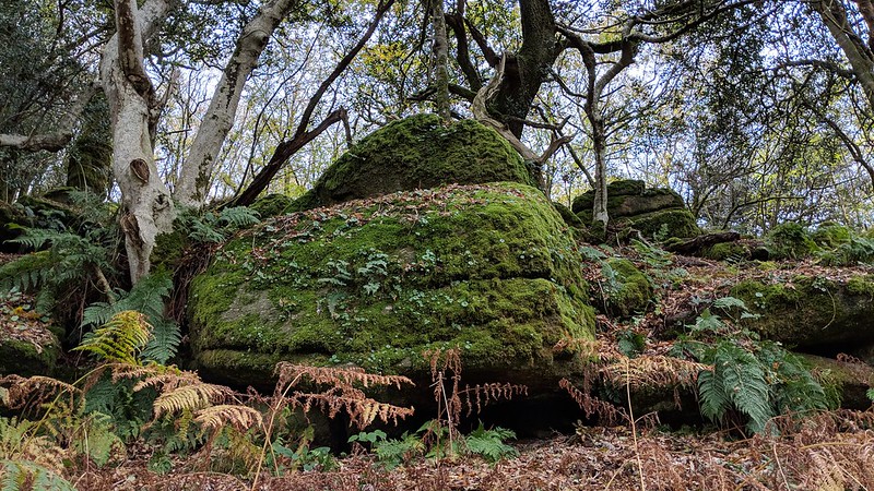
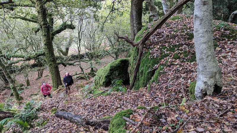
Situated to the south of the road that runs from Swallerton Gate to Great Hound Tor Farm and not far from the ruins of the barn at Piphole Linhay, is this impressive stack of rock which is set in a wooded area overlooking a gully close to the public footpath that leads to the Medieval Village above Greator Rocks.
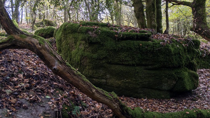
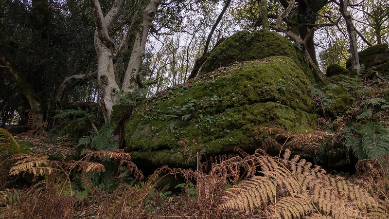
This sizeable tor has one main outcrop on the steep valley side with further rocks above it, almost like a mossy clitter field, likely having tumbled down the hillside from nearby Hound Tor.
The 1836 Tithe Map of the Parish of Manaton shows the plot of land it resides on is called 'Yonder Piphole'; a suitable name for this lesser known tor.
Yonder Piphole Tor
The map above is not a navigation tool and we recommend that the grid reference shown below is used in conjunction with an Ordnance Survey map and that training in its use with a compass is advised.
Grid Ref:
SX 746 792
Height:
300m
Parish:
Manaton
Tor Classification:
Valley Side
Access:
Public
Rock Type:
Granite
Credit:
Tim Jenkinson
Reference / Further Reading:
Tim Jenkinson: East Dartmoor The Hidden Landscape: Rocks and Tors (published privately) Devon County Council: Tithe Map of the Parish of Manaton
Please Support Us
We are proud to see the names of lesser-known tors are now being used more commonly on other websites and whilst this is to be encouraged we do request that, should you wish to use the information on this page, you provide a backlink to the website as reference, by copying the relevant address:
Please also consider a small donation to the upkeep of the site; any contribution goes toward the fees to keep the database online and any costs incurred when undertaking research such as subscriptions to online archives.