TORS OF DARTMOOR
a database of both lesser- & well-known rocks and outcrops
Crip Tor (Ringwood)Criptor
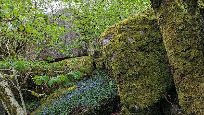 Ken Ringwood (KR), in his 2013 book on Dartmoor's Tors and Rocks, places Crip Tor on private land, on a short rise at the back of the Criptor Farm. It is a worthy contender, consisting of a number of large, smooth-rounded outcrops adjacent to the same named farm. Further boulders and outcrops are situated below to the south-west at SX 55401 72666, indeed KR explaining that "small outcrops can be seen over the fence from the access land to the S." More rocks are scattered through the private enclosures above Withill to the west, where there is also the old ruined farmstead called Crabbaland. 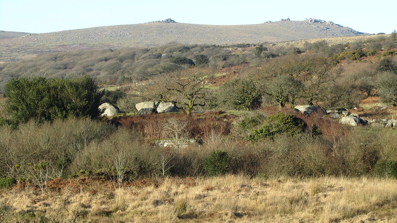 However, the true location of 'Crip Tor' is disputed, with other evidence placing it elsewhere. Whilst it was mentioned by William Crossing (WC) in his Guide, he gives no description of the tor to help, and Eric Hemery offers nothing more and only refers to the farm. 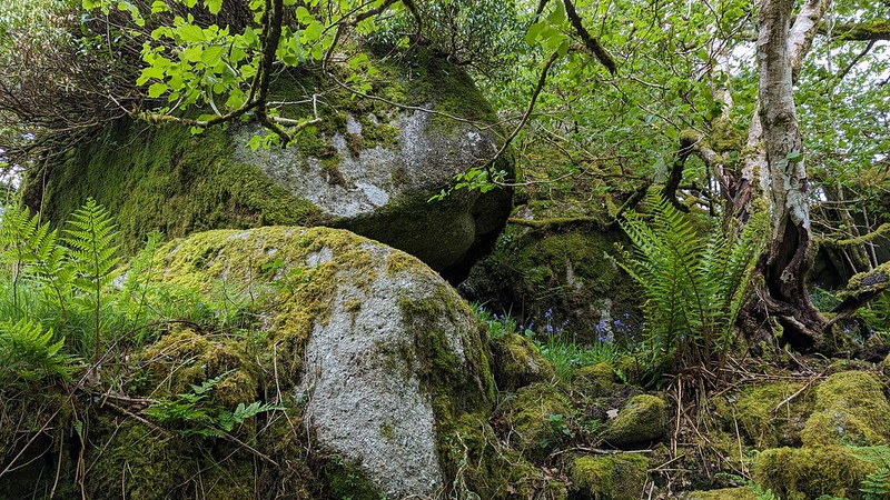 Mike Brown, in his 1985 Gazetteer, places Crip Tor to the south-east of Swell Tor, and there is evidence of this position being favoured on the Tithe Map of the Parish of Walkhampton. This outcrop, which is poised high on the ridge, is the only surviving remnant amid all of the former 19th Century quarrying and has its own dramatic excavations and sprawl of granite tossed beneath. This site is also known by some as Swell Tor Stack and Inclined Plane Tor, the latter being mentioned by WC in his 'Dartmoor Worker'. Please see a separate listing on this website here. 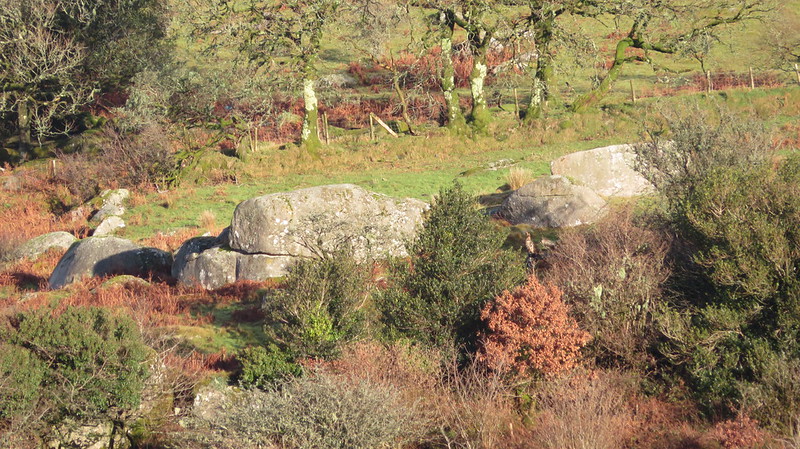 Please note that the surrounding terrain to the immediate south of Crip Tor (Ringwood) - where the tor should be reached via crossing the Yes Tor Brook - is largely overgrown by bracken and tall grass in the summer months, and that elsewhere it is very boggy. This restricts when visits are possible without getting entangled in vegetation. If you do visit, please keep well away from the farm and respect the privacy of the current owners.
| ||||||||||||||||||||||||||||