TORS OF DARTMOOR
a database of both lesser- & well-known rocks and outcrops
Lynch TorLinch Tor, Lints Tor (Mudge), South Lints Tor (Prowse) 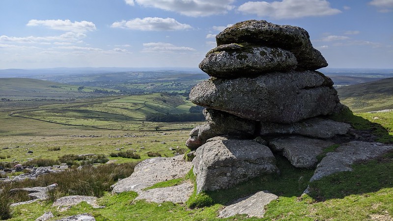 Lynch Tor occupies a prominent position above the Lych Way and Baggator Brook on the western escarpment of Dartmoor. Its lofty elevation renders it visible from miles around and is a welcome sight when approached from the rough terrain of the Upper Walkham Valley to the east or from White Barrow to the south. Indeed, for a Forest Boundary Perambulator who has walked from the south, Lynch Tor is the first substantial set of outcrops that offer some shelter from the elements, since Great Mis Tor is some three and a half kilometres away. From the north, it is the first significant point of interest after the River Tavy which is over two kilometres as the crow flies. 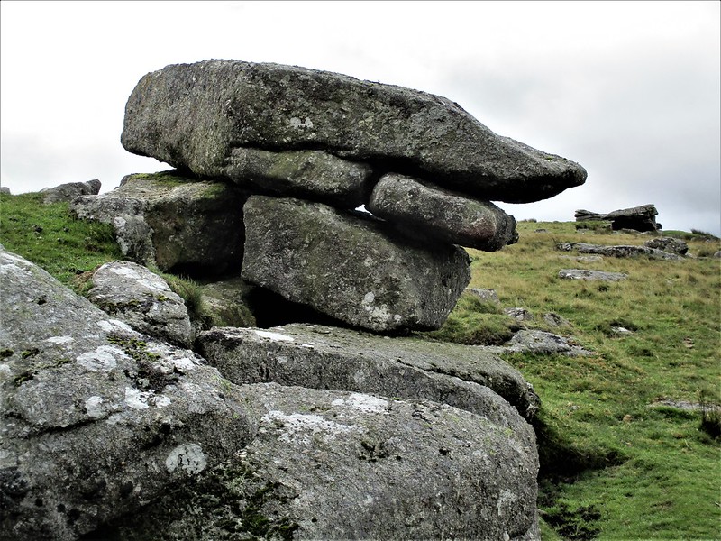 The tor has succumbed to the brutal forces of weathering which, to quote Hemery (1983), "has flung down the west flank a fan-shaped clitter, dense enough to betoken a tor much larger than the remnant core suggests." As you ascend the steep west flank from the Bagga Tor direction, you will encounter a magnificent series of clitter fields that in places feature huge granite slabs that take on the rough form of armchairs and sofas. 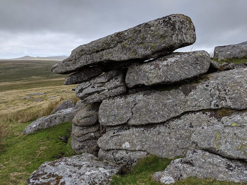 Lynch Tor proper consists of three main outcrops, the southernmost (and highest) being known as Limsboro' Cairn that is considered, by some writers, to be a separate outcrop. This has its own page here. The central outcrop is the largest and perhaps most distinctive, containing what appears to be a saddle in the rocks with a considerable cliff on the west side. The jointings are irregular and inconsistent, and on the edge of the pile is a fine, small rock basin that was espied by Max Piper in August 2019. The northernmost outcrop is a neat little stack where beyond lies the exposed moorland of the western portion of Red Lake Hill. 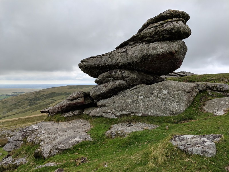 Crossing (1912) gives a suggestion for the name of the tor: "Lynch, g. A rough road, or track. The word usually indicates a track that is lower than the ground on each side of it - a cutting. It is possible that Lynch Tor, Walkham, and Lynch Down, Meavy, may both have been named after old tracks. Near the former runs the Lich Path, and through a cutting..." Lynch Tor's great ruin inspires imagination of what it once would have looked like and in order to experience the magnificent vistas it is well worth the ascent.
| ||||||||||||||||||||||||||||||