TORS OF DARTMOOR
a database of both lesser- & well-known rocks and outcrops
Welstor Rock WestWells Tor, Welstor Common, Wellstor Rock 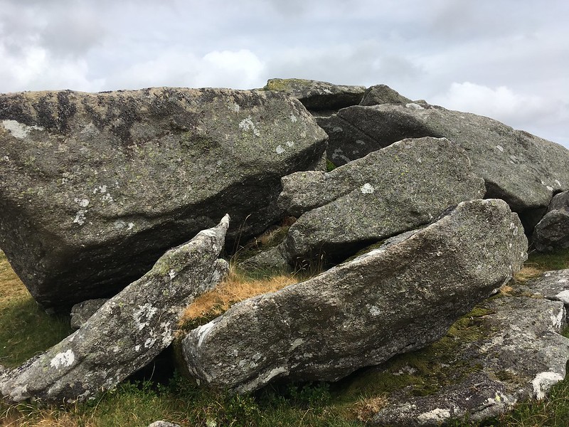 This little pile forms part of a mystery relating to the exact position of Welstor Rock. This account of the western outcrop should be read in conjunction with that for Wells Tor East to fully understand the controversy. Looking eastward from the summit of the grand sentinel of Buckland Beacon a little way beyond the newtake wall, there lies a rather indistinct cluster of boulders that are marked on modern OS maps as the site of the Rock. Easily accessed through a hunting gate in the wall the rocks here are in total disarray and are referred to by Hemery as "completely in ruins" with the tor remnant having "shed its weathered slabs flat upon the ground" the author also introduces the name of Wells Tor (page 665) for the broken rocks. Some years later Terry Bound (1991) curiously describes the Rock as "one small compact stack" and offers directions "opposite Buckland Beacon, turn left through the gate to the rock". However, the visitor will find no rock stack at this particular point but will if venturing further down the slope to the east (see Wells Tor East). 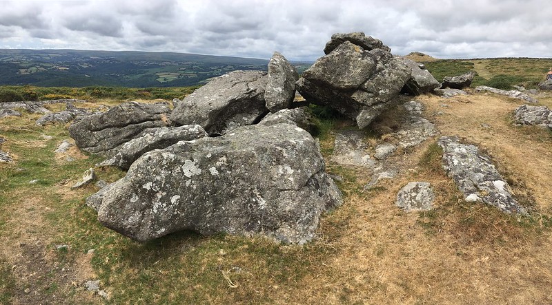 Confusion over the exact site of Welstor Rock continued until relatively recently when Tim Jenkinson writing in 2011 attempted to clarify locations. Commenting on descriptions from both William Crossing and Eric Hemery that include references to the nearby gate he writes "From reading their descriptions it is my assertion that both men were describing the upper and most western outcrop of the tor at SX 7368 7304, the one that is clearly visible over the wall from Buckland Beacon. This is indeed the most ruinous part, little more than a jumble of large boulders." 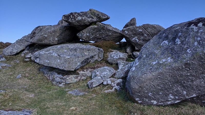 In conclusion Tim poses the following question "So why did neither author make reference to the second and more robust outcrop at SX 7378 7296 little more than 100 metres to the east of here? Did either of them walk over the summit and down to the eastern pile? By their descriptions it seems not." It is indeed a puzzle and why would a lowly group of rocks near to the wall be labelled as a singular Rock when below there is a much more prominent stack clearly visible from the road to the south? Was Terry Bound describing the eastern stack? If so, why didn't he comment on its distinctive shape? 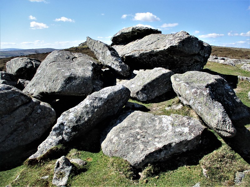 The western pile is without doubt the easiest and most convenient part of the tor to visit as the more significant lower outcrop is not visible from there as it lies just off the brow of the hill and is invariably encircled by a rash of impenetrable gorse bushes restricting access that only periodic burning (swaling) can improve. Perhaps it was the hazardous terrain that dissuaded earlier commentators from a more thorough exploration of the area.
| ||||||||||||||||||||||||||||||